Transport Functions
Rail
Road
Hub Profile
Place type
Urban district
Region
Volgograd Oblast
Time zone
Europe/Volgograd
Elevation
3 m
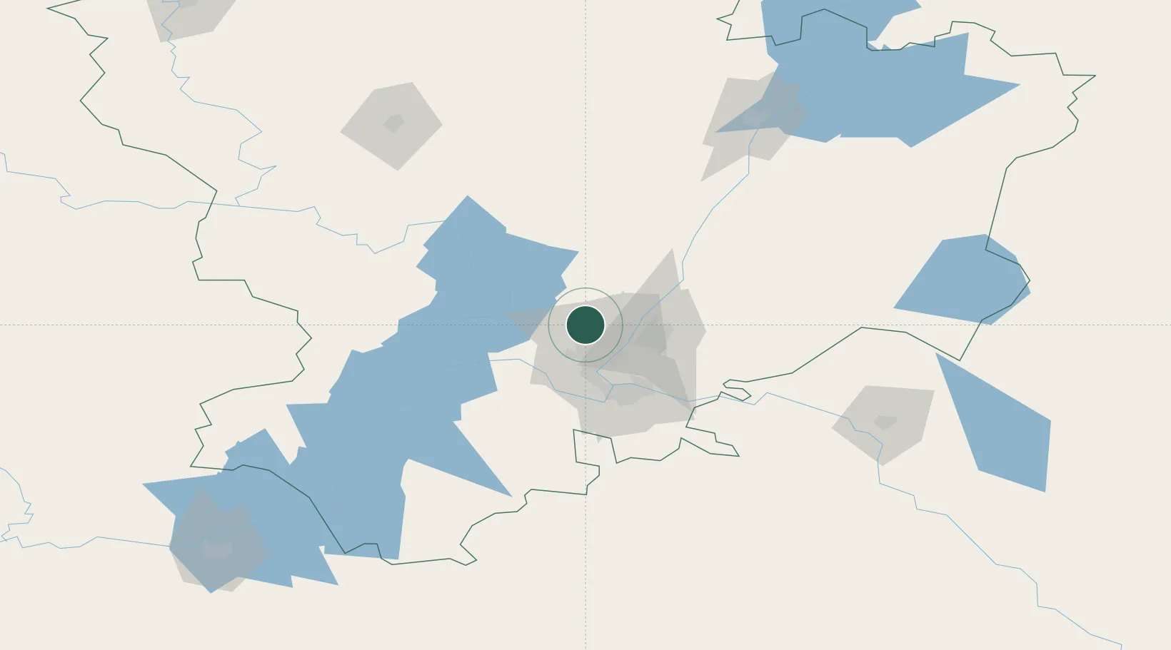
Location
Nearby Logistics Neighbours
Cities
- 1Volgograd17 km
- 2Dubovka37 km
- 3Kamyshin154 km
- 4Tsimlyansk219 km
- 5Belaya Kalitva277 km
Ports
- 1Rostov-Na-Donu396 km
- 2Azov418 km
- 3Taganrog445 km
- 4Yeysk515 km
- 5Mariupol545 km
Airports
- 1Volgograd International Airport12 km
- 2Kapustin Yar Airfield102 km
- 3Akhtubinsk Air Base151 km
- 4Lebyazhye Air Base158 km
- 5Elista Airport279 km
DatabookThe Record of Consolidated Knowledge
Russia beyond logistics?