Free Trade Zone · Russia

Ulyanovsk Vostochny Intl Airport Free Zone Active
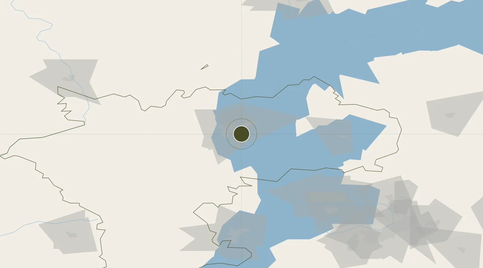
54.2449°, 48.4802°
415 ha
Zone area
998.6 km
Nearest port
16.7 km
Nearest airport

Gateway access

Nearest neighbours — logibook spatial index (haversine) over the source coordinates

Zone profile

Zone type
Free Trade Zone
Open Zone Map
Region
Ul'yanovsk
Open Zone Map
Status
Active
Open Zone Map
Management
Public-Private Partnership
Open Zone Map
Operator
Aviastar SP Joint-Stock Company / Ulyanovsk Airport Authority
Open Zone Map
Legal framework
Federal Law No 116-FZ, On Special Economic Zones in the Russian Federation, Decree of the Government of the Russian Federation No. 1538 dated 31.12.2015
Open Zone Map

Location

Location of ozm-4009
Natural Earth 10m (public domain) · Ul'yanovsk · ozm-4009 · 54.24, 48.48GoogleOSMYandex

Nearby Logistics Neighbours

Ports
  1. 1Rostov-Na-Donu999 km
  2. 2Azov1017 km
  3. 3Taganrog1030 km
  4. 4Yeysk1102 km
  5. 5Mariupol1105 km
Nearest neighbours — logibook spatial index (haversine) over the source coordinates
Airports
  1. 1Ulyanovsk Baratayevka Airport17 km
  2. 2Ulyanovsk Vostochny Airport27 km
  3. 3Kurumoch International Airport138 km
  4. 4Kazan International Airport160 km
  5. 5Samara Kryazh Air Base165 km
Nearest neighbours — logibook spatial index (haversine) over the source coordinates
Cities
  1. 1Ulyanovsk (Simbirsk)10 km
  2. 2Tolyatti99 km
  3. 3Tol'yatti109 km
  4. 4Samara165 km
  5. 5Zelënodol'sk177 km
Nearest neighbours — logibook spatial index (haversine) over the source coordinates
DatabookThe Record of Consolidated Knowledge
Russia beyond logistics?
Browse databook

All Sources

Trade ZonesOpen Zone Map
CC BY
Portsthe NGA World Port Index
Public domain (US gov)
AirportsOurAirports
Public domain
LocationsUN/LOCODE
UN/LOCODE — free
← Russia trade zones