Transport Functions
Multimodal
Hub Profile
Place type
Populated place
Region
North Brabant
Population
4,520
Time zone
Europe/Amsterdam
Elevation
6 m
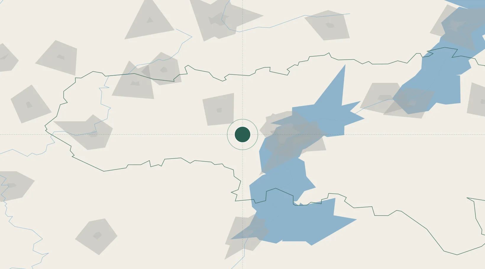
Location
Nearby Logistics Neighbours
Cities
- 1Tatishchevo23 km
- 2Polsbroek50 km
- 3Engels55 km
- 4Sennoy131 km
- 5Voinovka155 km
Ports
- 1Rostov-Na-Donu635 km
- 2Azov654 km
- 3Taganrog669 km
- 4Yeysk742 km
- 5Mariupol750 km
Airports
- 1Gagarin International Airport61 km
- 2Engels Air Base62 km
- 3Bagay-Baranovka Air Base130 km
- 4Rtishchevo Air Base138 km
- 5Balashov Air Base141 km
DatabookThe Record of Consolidated Knowledge
Netherlands beyond logistics?