UN/LOCODE hub · Romania
ROMGU

Magureni

45.0667°, 25.7333°
6,515
Population
2
Transport functions

Transport Functions

Port
Multimodal
UN/LOCODE

Hub Profile

Place type
Provincial seat
GeoNames
Region
Prahova
GeoNames
Population
6,515
GeoNames
Time zone
Europe/Bucharest
GeoNames
Elevation
364 m
GeoNames

Location

Location of ROMGU
Natural Earth 10m (public domain) · Prahova · ROMGU · 45.07, 25.73GoogleOSMYandex

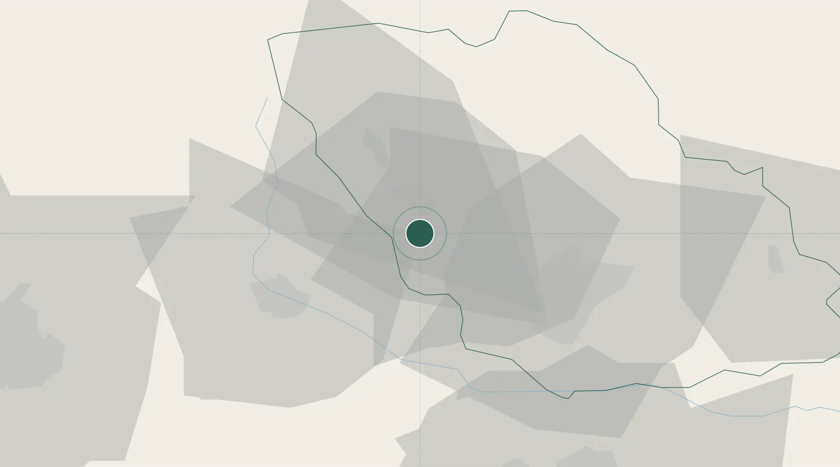
Nearby Logistics Neighbours

Cities
  1. 1Cocorastii-Capli1 km
  2. 2Banesti5 km
  3. 3Câmpina7 km
  4. 4Filipestii de Padure8 km
  5. 5Baicoi10 km
Nearest neighbours — logibook spatial index (haversine) over the source coordinates
Ports
  1. 1Braila178 km
  2. 2Galati188 km
  3. 3Cernavoda200 km
  4. 4Reni205 km
  5. 5Medgidia220 km
Nearest neighbours — logibook spatial index (haversine) over the source coordinates
Airports
  1. 1Bucharest Henri Coandă International Airport62 km
  2. 2Bucharest Băneasa Aurel Vlaicu International Airport69 km
  3. 3Brașov-Ghimbav International Airport73 km
  4. 4Boboc Air Base99 km
  5. 5Sibiu International Airport151 km
Nearest neighbours — logibook spatial index (haversine) over the source coordinates
Trade Zones
  1. 1VGP Park Brasov67 km
  2. 2VGP Park Buharest North68 km
  3. 3Free Zone Galați108 km
  4. 4Free Zone Giurgiu132 km
  5. 5Rousse Free Zone133 km
Nearest neighbours — logibook spatial index (haversine) over the source coordinates
DatabookThe Record of Consolidated Knowledge
Romania beyond logistics?
Browse databook

All Sources

LocationsUN/LOCODE
UN/LOCODE — free
LocationsGeoNames
CC BY 4.0
Portsthe NGA World Port Index
Public domain (US gov)
AirportsOurAirports
Public domain
Trade Zonesthe World Bank SEZ database
CC BY 4.0
Trade ZonesOpen Zone Map
CC BY
← Romania locations