Transport Functions
Rail
Road
Hub Profile
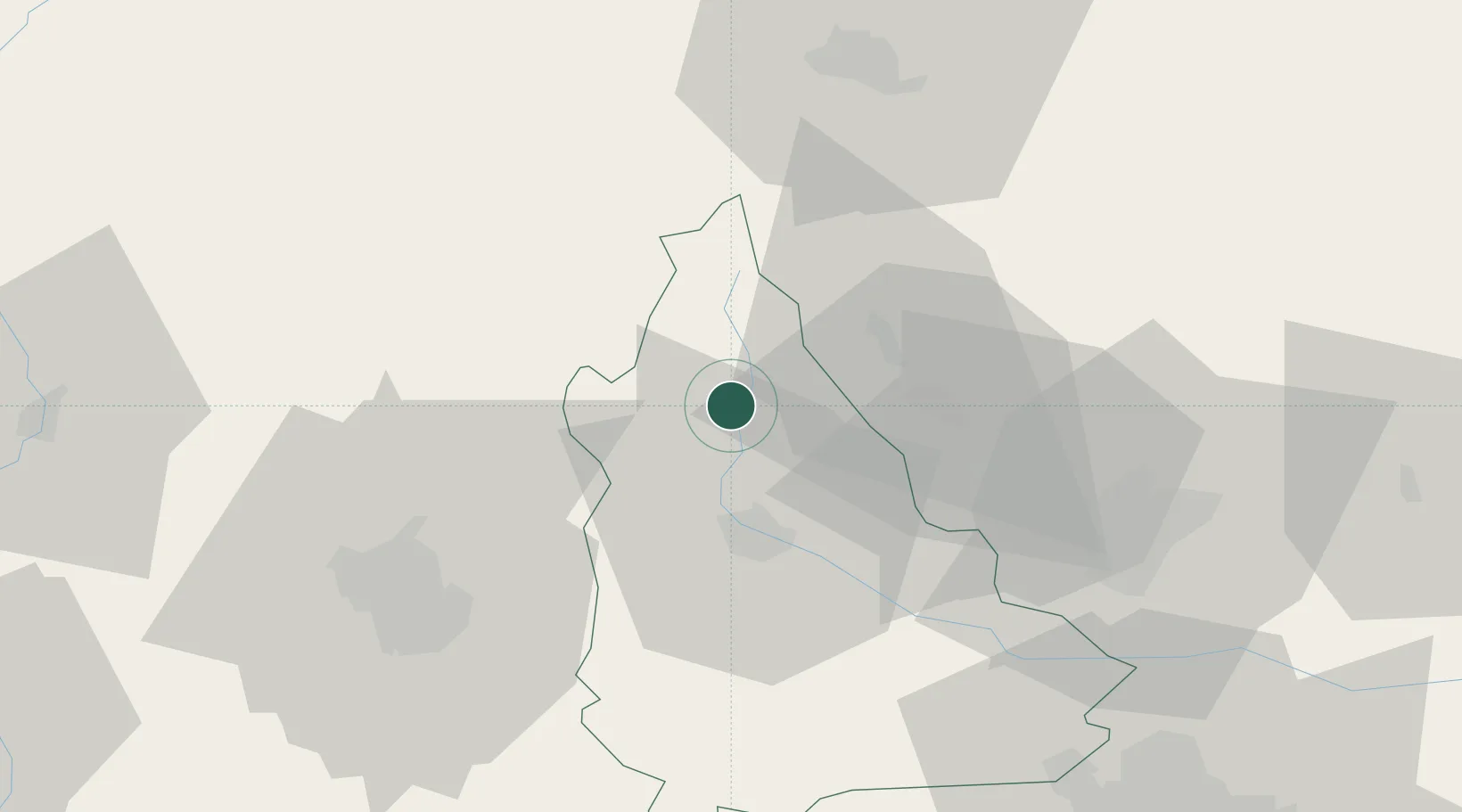
Place type
Provincial seat
Region
Dâmbovița County
Population
7,566
Time zone
Europe/Bucharest
Elevation
486 m
Location
Nearby Logistics Neighbours
Cities
- 1Bezdead8 km
- 2Breaza, Prahova20 km
- 3Comarnic21 km
- 4Moreni, Dimbovita24 km
- 5Câmpina25 km
Airports
Trade Zones
- 1VGP Park Brasov59 km
- 2VGP Park Buharest North85 km
- 3VGP Park Sibiu128 km
- 4Free Zone Galați130 km
- 5Free Zone Giurgiu144 km
DatabookThe Record of Consolidated Knowledge
Romania beyond logistics?