Transport Functions
Rail
Road
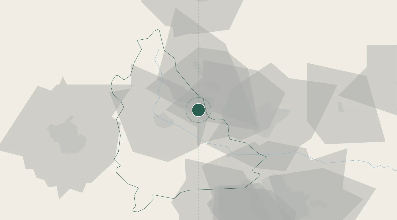
Location
Nearby Logistics Neighbours
Cities
- 1Filipestii de Padure8 km
- 2Magureni10 km
- 3Cocorastii-Capli11 km
- 4Banesti14 km
- 5Baicoi16 km
Airports
Trade Zones
- 1VGP Park Buharest North63 km
- 2VGP Park Brasov74 km
- 3Free Zone Galați117 km
- 4Free Zone Giurgiu126 km
- 5Rousse Free Zone127 km
DatabookThe Record of Consolidated Knowledge
Romania beyond logistics?