UN/LOCODE hub · Romania
ROFDP

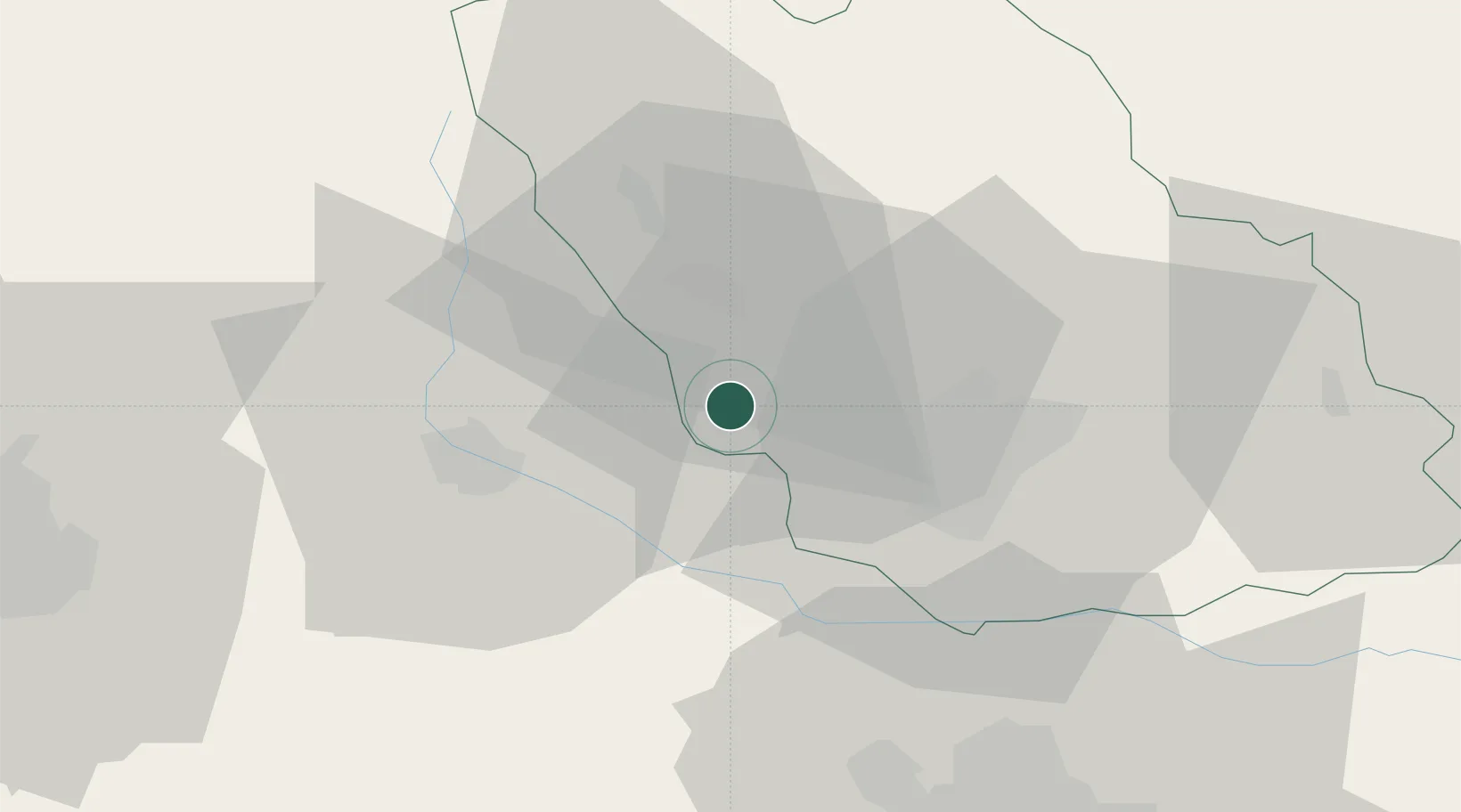
Filipestii de Padure

45.0000°, 25.7500°
10,169
Population
2
Transport functions

Transport Functions

Rail
Road
UN/LOCODE

Hub Profile

Place type
Provincial seat
GeoNames
Region
Prahova
GeoNames
Population
10,169
GeoNames
Time zone
Europe/Bucharest
GeoNames
Elevation
301 m
GeoNames

Location

Location of ROFDP
Natural Earth 10m (public domain) · Prahova · ROFDP · 45.00, 25.75GoogleOSMYandex

Nearby Logistics Neighbours

Cities
  1. 1Cocorastii-Capli7 km
  2. 2Magureni8 km
  3. 3Moreni, Dimbovita8 km
  4. 4Baicoi9 km
  5. 5Banesti11 km
Nearest neighbours — logibook spatial index (haversine) over the source coordinates
Ports
  1. 1Braila177 km
  2. 2Galati189 km
  3. 3Cernavoda196 km
  4. 4Reni206 km
  5. 5Medgidia216 km
Nearest neighbours — logibook spatial index (haversine) over the source coordinates
Airports
  1. 1Bucharest Henri Coandă International Airport55 km
  2. 2Bucharest Băneasa Aurel Vlaicu International Airport62 km
  3. 3Brașov-Ghimbav International Airport80 km
  4. 4Boboc Air Base99 km
  5. 5Sibiu International Airport157 km
Nearest neighbours — logibook spatial index (haversine) over the source coordinates
Trade Zones
  1. 1VGP Park Buharest North61 km
  2. 2VGP Park Brasov75 km
  3. 3Free Zone Galați110 km
  4. 4Free Zone Giurgiu124 km
  5. 5Rousse Free Zone126 km
Nearest neighbours — logibook spatial index (haversine) over the source coordinates
DatabookThe Record of Consolidated Knowledge
Romania beyond logistics?
Browse databook

All Sources

LocationsUN/LOCODE
UN/LOCODE — free
LocationsGeoNames
CC BY 4.0
Portsthe NGA World Port Index
Public domain (US gov)
AirportsOurAirports
Public domain
Trade Zonesthe World Bank SEZ database
CC BY 4.0
Trade ZonesOpen Zone Map
CC BY
← Romania locations