Transport Functions
Multimodal
Hub Profile
Place type
Populated place
Region
Suceava
Time zone
Europe/Bucharest
Elevation
433 m
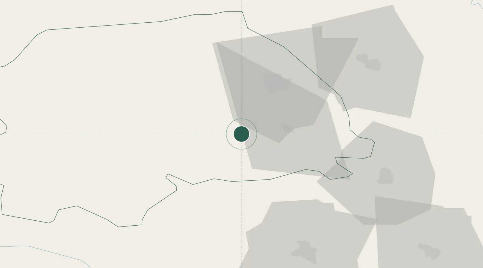
Location
Nearby Logistics Neighbours
Cities
- 1Gura Humorului19 km
- 2Scheia24 km
- 3Prelipca25 km
- 4Vanatori Neamt32 km
- 5Slobozia Sucevei34 km
Airports
Trade Zones
DatabookThe Record of Consolidated Knowledge
Romania beyond logistics?