UN/LOCODE hub · Romania
ROAVR

Avrig

45.7333°, 24.3833°
14,032
Population
3
Transport functions

Transport Functions

Rail
Road
Multimodal
UN/LOCODE

Hub Profile

Place type
Provincial seat
GeoNames
Region
Sibiu County
GeoNames
Population
14,032
GeoNames
Time zone
Europe/Bucharest
GeoNames
Elevation
385 m
GeoNames

Location

Location of ROAVR
Natural Earth 10m (public domain) · Sibiu County · ROAVR · 45.73, 24.38GoogleOSMYandex

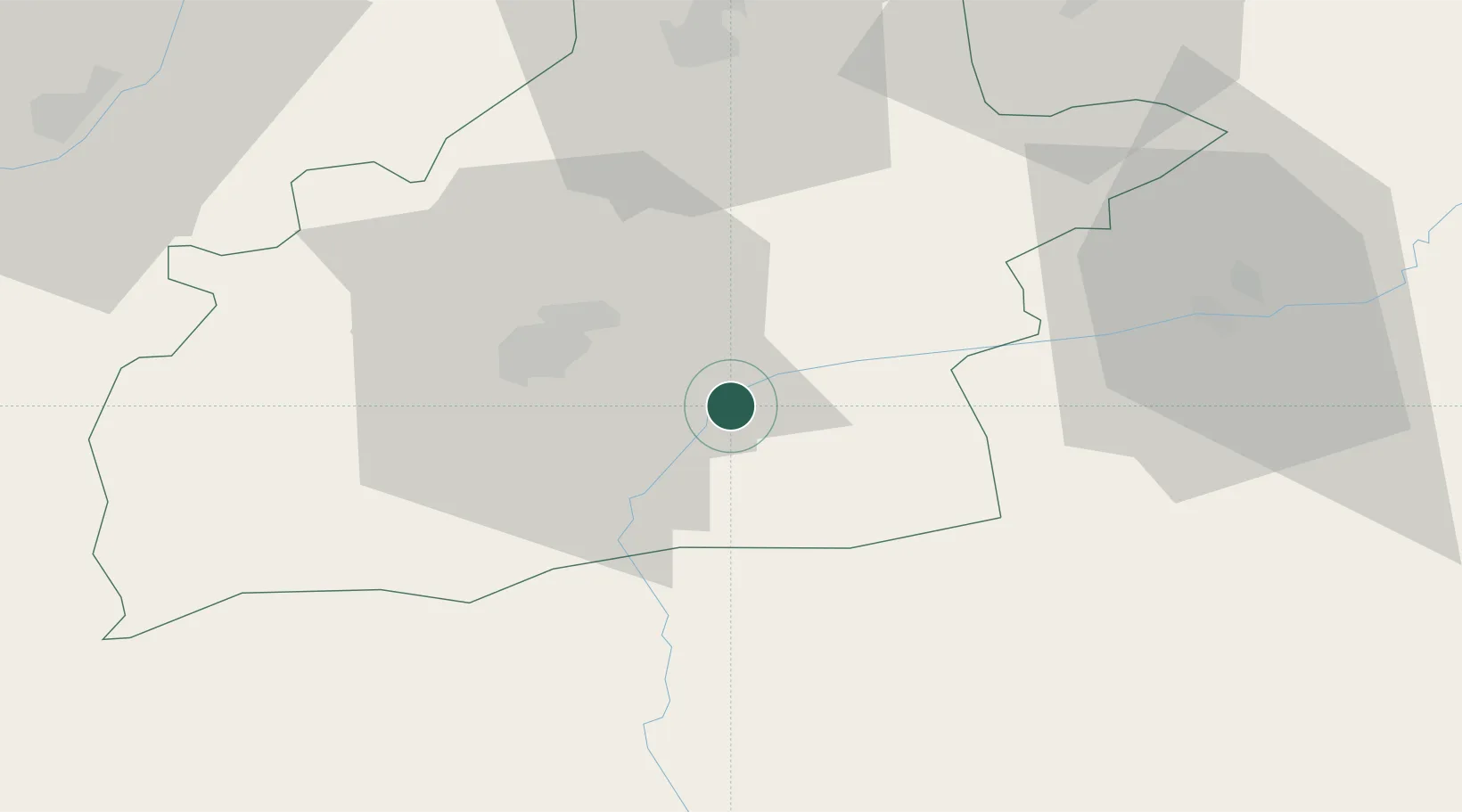
Nearby Logistics Neighbours

Cities
  1. 1Selimbar15 km
  2. 2Victoria23 km
  3. 3Baiculesti26 km
  4. 4Sura Mica27 km
  5. 5Miercurea Sibiului48 km
Nearest neighbours — logibook spatial index (haversine) over the source coordinates
Ports
  1. 1Braila286 km
  2. 2Galati290 km
  3. 3Reni307 km
  4. 4Cernavoda327 km
  5. 5Medgidia347 km
Nearest neighbours — logibook spatial index (haversine) over the source coordinates
Airports
  1. 1Sibiu International Airport24 km
  2. 2Târgu Mureş Transilvania International Airport82 km
  3. 3Brașov-Ghimbav International Airport89 km
  4. 4Câmpia Turzii Air Base94 km
  5. 5Avram Iancu Cluj International Airport129 km
Nearest neighbours — logibook spatial index (haversine) over the source coordinates
Trade Zones
  1. 1VGP Park Sibiu25 km
  2. 2VGP Park Brasov91 km
  3. 3VGP Park Buharest North187 km
  4. 4Free Zone Galați210 km
  5. 5Free Zone Giurgiu239 km
Nearest neighbours — logibook spatial index (haversine) over the source coordinates
DatabookThe Record of Consolidated Knowledge
Romania beyond logistics?
Browse databook

All Sources

LocationsUN/LOCODE
UN/LOCODE — free
LocationsGeoNames
CC BY 4.0
Portsthe NGA World Port Index
Public domain (US gov)
AirportsOurAirports
Public domain
Trade Zonesthe World Bank SEZ database
CC BY 4.0
Trade ZonesOpen Zone Map
CC BY
← Romania locations