Transport Functions
Multimodal
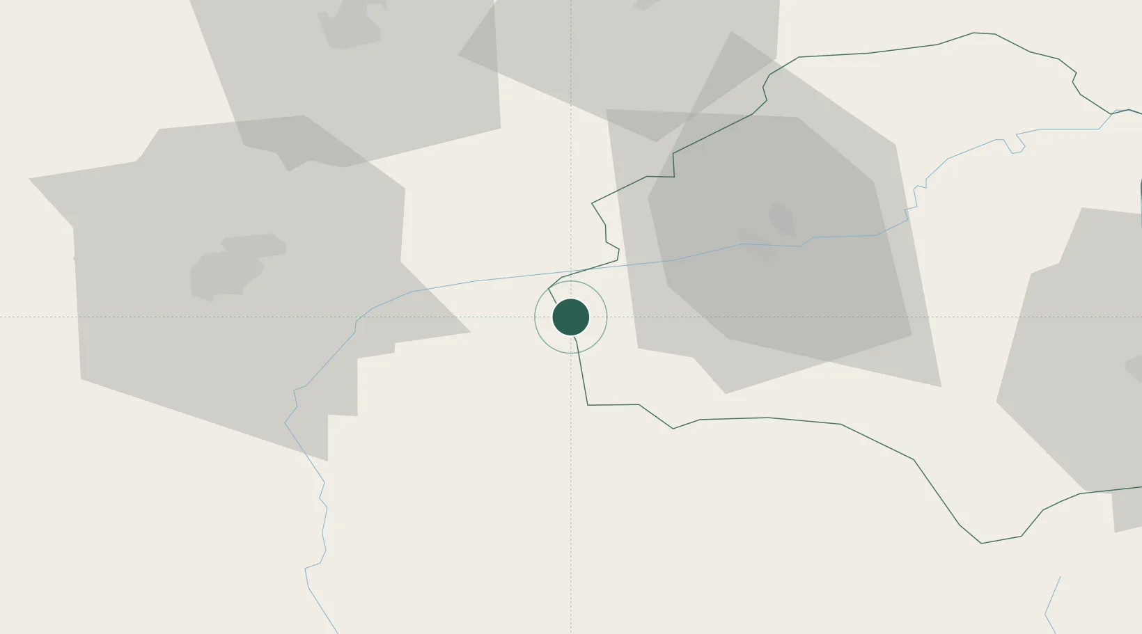
Hub Profile
Place type
Provincial seat
Region
Brașov County
Population
10,247
Time zone
Europe/Bucharest
Elevation
551 m
Location
Nearby Logistics Neighbours
Cities
- 1Baiculesti8 km
- 2Avrig23 km
- 3Selimbar38 km
- 4Sura Mica49 km
- 5Sighisoara55 km
Airports
Trade Zones
- 1VGP Park Sibiu48 km
- 2VGP Park Brasov68 km
- 3VGP Park Buharest North172 km
- 4Free Zone Galați187 km
- 5Free Zone Giurgiu228 km
DatabookThe Record of Consolidated Knowledge
Romania beyond logistics?