UN/LOCODE hub · Romania
ROBUL

Baiculesti

45.6667°, 24.7000°
6,207
Population
1
Transport functions

Transport Functions

Multimodal
UN/LOCODE

Hub Profile

Place type
Provincial seat
GeoNames
Region
Arges
GeoNames
Population
6,207
GeoNames
Time zone
Europe/Bucharest
GeoNames
Elevation
413 m
GeoNames

Location

Location of ROBUL
Natural Earth 10m (public domain) · Arges · ROBUL · 45.67, 24.70GoogleOSMYandex

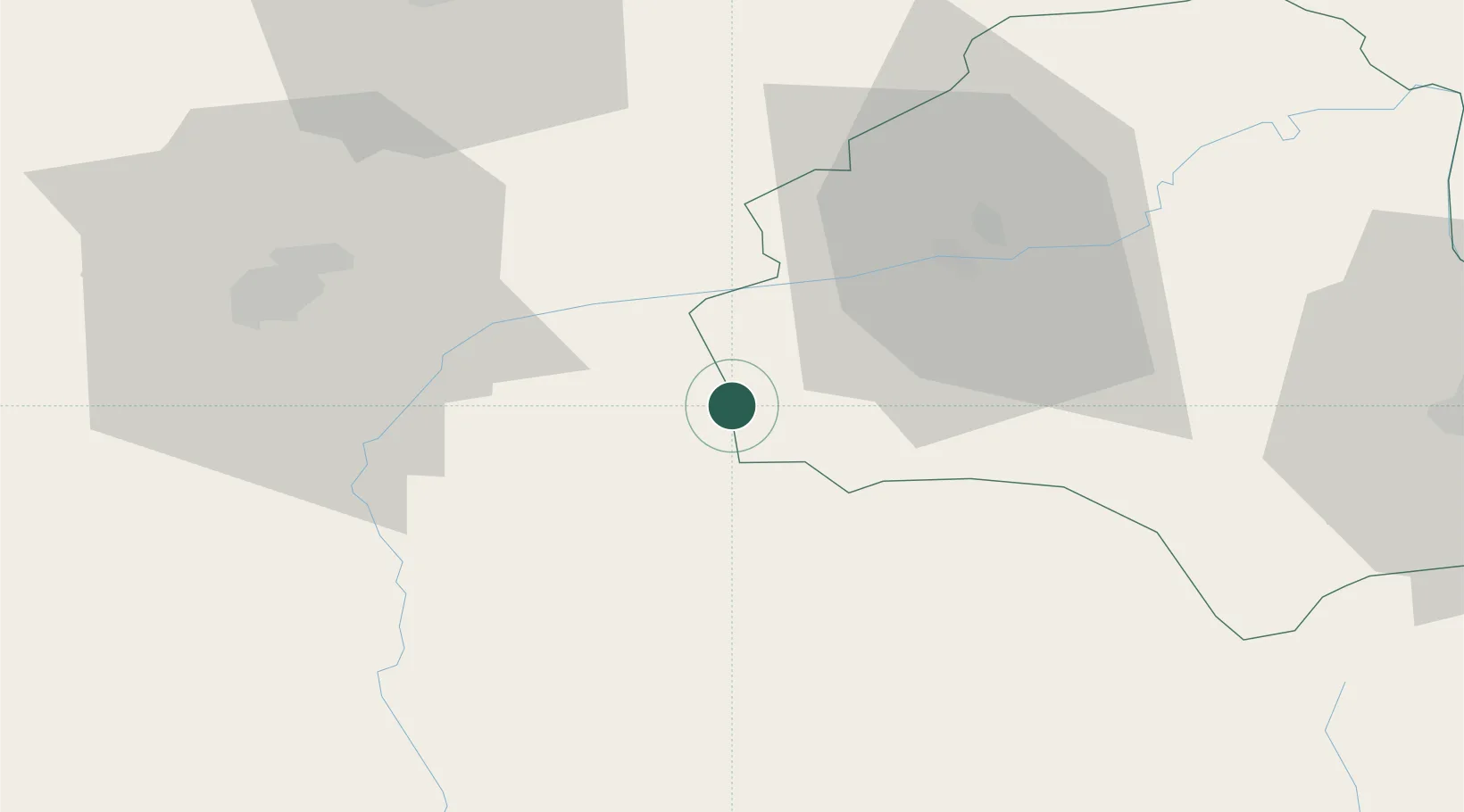
Nearby Logistics Neighbours

Cities
  1. 1Victoria8 km
  2. 2Avrig26 km
  3. 3Selimbar40 km
  4. 4Campulung Muscel52 km
  5. 5Zarnesti52 km
Nearest neighbours — logibook spatial index (haversine) over the source coordinates
Ports
  1. 1Braila260 km
  2. 2Galati265 km
  3. 3Reni282 km
  4. 4Cernavoda302 km
  5. 5Medgidia322 km
Nearest neighbours — logibook spatial index (haversine) over the source coordinates
Airports
  1. 1Sibiu International Airport49 km
  2. 2Brașov-Ghimbav International Airport64 km
  3. 3Târgu Mureş Transilvania International Airport92 km
  4. 4Câmpia Turzii Air Base112 km
  5. 5Avram Iancu Cluj International Airport147 km
Nearest neighbours — logibook spatial index (haversine) over the source coordinates
Trade Zones
  1. 1VGP Park Sibiu51 km
  2. 2VGP Park Brasov66 km
  3. 3VGP Park Buharest North165 km
  4. 4Free Zone Galați185 km
  5. 5Free Zone Giurgiu221 km
Nearest neighbours — logibook spatial index (haversine) over the source coordinates
DatabookThe Record of Consolidated Knowledge
Romania beyond logistics?
Browse databook

All Sources

LocationsUN/LOCODE
UN/LOCODE — free
LocationsGeoNames
CC BY 4.0
Portsthe NGA World Port Index
Public domain (US gov)
AirportsOurAirports
Public domain
Trade Zonesthe World Bank SEZ database
CC BY 4.0
Trade ZonesOpen Zone Map
CC BY
← Romania locations