Transport Functions
Multimodal
Hub Profile
Place type
Provincial seat
Region
Prahova
Population
11,918
Time zone
Europe/Bucharest
Elevation
813 m
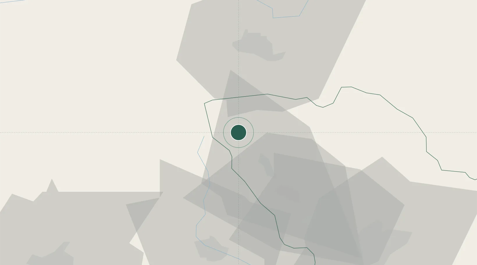
Location
Nearby Logistics Neighbours
Cities
- 1Comarnic13 km
- 2Breaza, Prahova21 km
- 3Bezdead22 km
- 4Fieni26 km
- 5Câmpina28 km
Airports
Trade Zones
- 1VGP Park Brasov34 km
- 2VGP Park Buharest North102 km
- 3Free Zone Galați117 km
- 4VGP Park Sibiu125 km
- 5Free Zone Giurgiu165 km
DatabookThe Record of Consolidated Knowledge
Romania beyond logistics?