Transport Functions
Rail
Road
Hub Profile
Region
PH
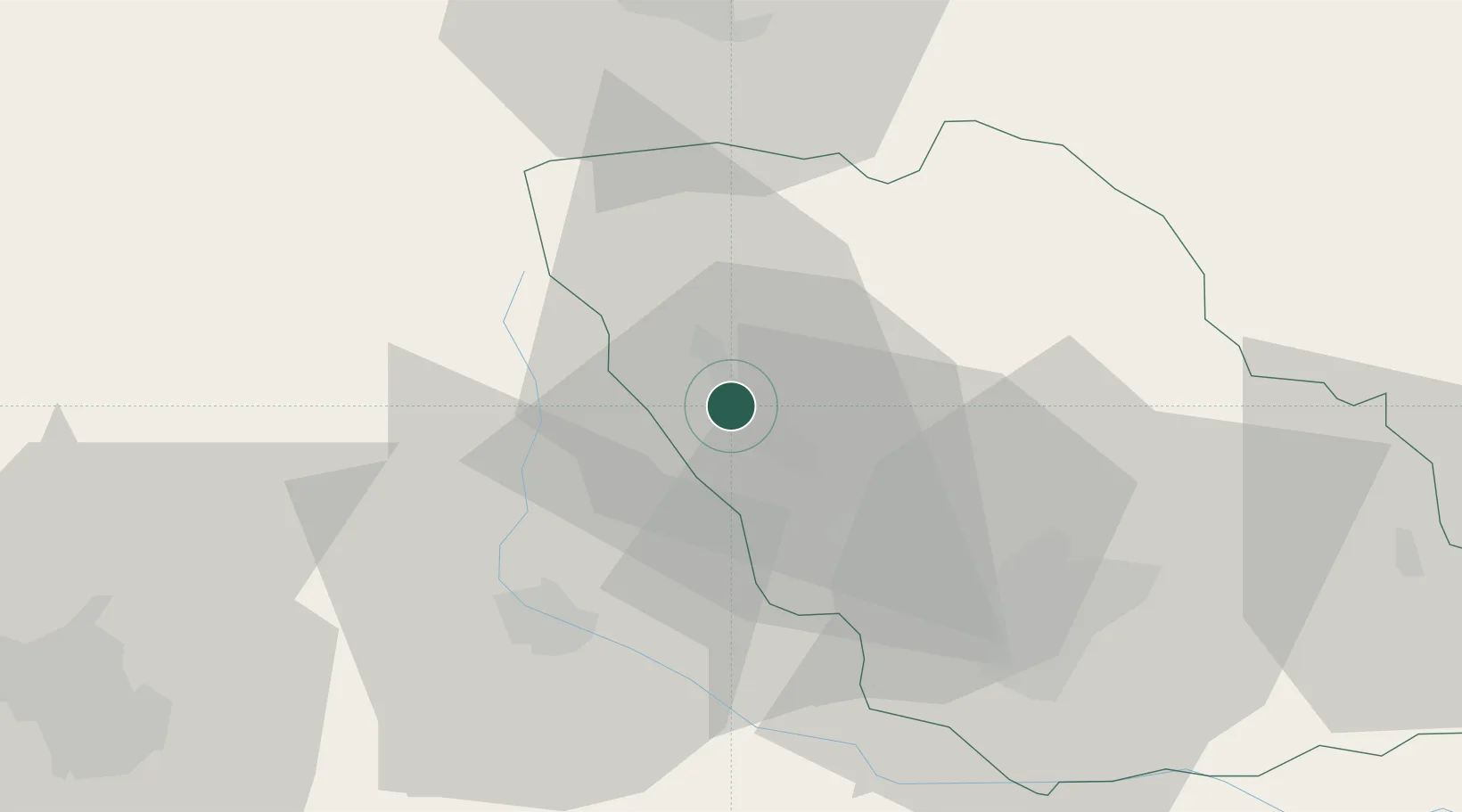
Location
Nearby Logistics Neighbours
Airports
Trade Zones
- 1VGP Park Brasov54 km
- 2VGP Park Buharest North82 km
- 3Free Zone Galați110 km
- 4VGP Park Sibiu141 km
- 5Free Zone Giurgiu145 km
DatabookThe Record of Consolidated Knowledge
Romania beyond logistics?