Transport Functions
Port
Multimodal
Hub Profile
Place type
Provincial seat
Region
Dâmbovița County
Population
5,067
Time zone
Europe/Bucharest
Elevation
534 m
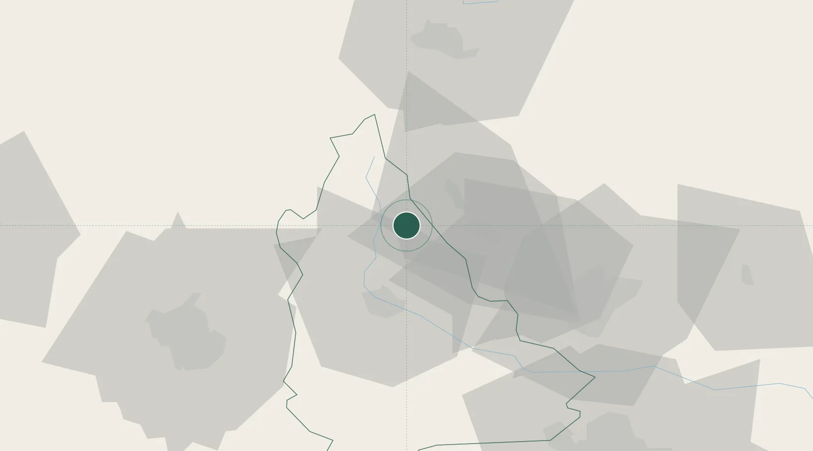
Location
Nearby Logistics Neighbours
Cities
- 1Fieni8 km
- 2Breaza, Prahova12 km
- 3Comarnic14 km
- 4Câmpina17 km
- 5Magureni19 km
Airports
Trade Zones
- 1VGP Park Brasov57 km
- 2VGP Park Buharest North83 km
- 3Free Zone Galați122 km
- 4VGP Park Sibiu133 km
- 5Free Zone Giurgiu144 km
DatabookThe Record of Consolidated Knowledge
Romania beyond logistics?