Transport Functions
Rail
Road
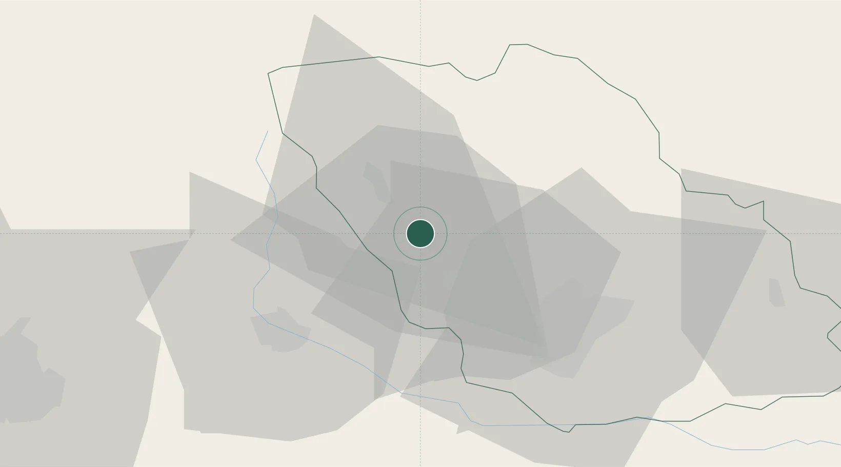
Hub Profile
Place type
Provincial seat
Region
Prahova
Population
41,554
Time zone
Europe/Bucharest
Elevation
443 m
Location
Nearby Logistics Neighbours
Cities
- 1Banesti5 km
- 2Magureni7 km
- 3Cocorastii-Capli8 km
- 4Breaza, Prahova8 km
- 5Baicoi14 km
Airports
Trade Zones
- 1VGP Park Brasov60 km
- 2VGP Park Buharest North75 km
- 3Free Zone Galați106 km
- 4Free Zone Giurgiu139 km
- 5Rousse Free Zone141 km
DatabookThe Record of Consolidated Knowledge
Romania beyond logistics?