Transport Functions
Multimodal
Hub Profile
Place type
Provincial seat
Region
Brașov County
Population
29,918
Time zone
Europe/Bucharest
Elevation
652 m
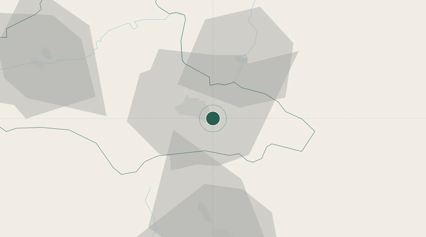
Location
Nearby Logistics Neighbours
Cities
- 1Prejmer13 km
- 2Halchiu20 km
- 3Codlea20 km
- 4Zarnesti27 km
- 5Sfantul-Gheorghe29 km
Airports
Trade Zones
- 1VGP Park Brasov11 km
- 2Free Zone Galați109 km
- 3VGP Park Sibiu127 km
- 4VGP Park Buharest North129 km
- 5Free zone Brăila183 km
DatabookThe Record of Consolidated Knowledge
Romania beyond logistics?