Transport Functions
Rail
Road
Hub Profile
Place type
Provincial seat
Region
Brașov County
Population
24,926
Time zone
Europe/Bucharest
Elevation
716 m
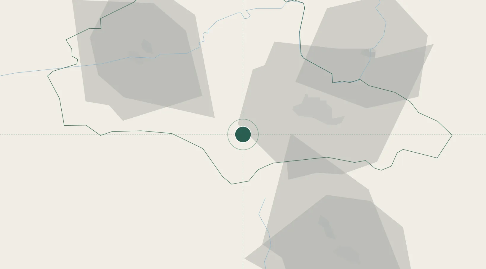
Location
Nearby Logistics Neighbours
Airports
Trade Zones
- 1VGP Park Brasov19 km
- 2VGP Park Sibiu102 km
- 3VGP Park Buharest North130 km
- 4Free Zone Galați133 km
- 5Free Zone Giurgiu192 km
DatabookThe Record of Consolidated Knowledge
Romania beyond logistics?