Transport Functions
Rail
Road
Hub Profile
Place type
Provincial seat
Region
Mureș County
Population
34,537
Time zone
Europe/Bucharest
Elevation
350 m
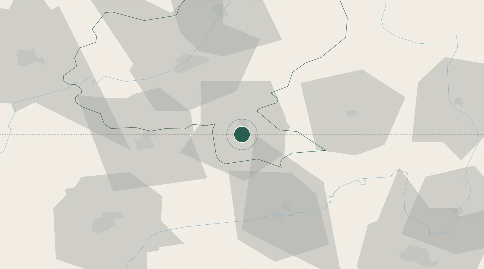
Location
Nearby Logistics Neighbours
Cities
- 1Albesti4 km
- 2Dumbraveni, Sibiu18 km
- 3Cristuru Secuiesc19 km
- 4Acatari32 km
- 5Livezeni39 km
Airports
Trade Zones
- 1VGP Park Sibiu74 km
- 2VGP Park Brasov85 km
- 3Free Zone Galați197 km
- 4VGP Park Buharest North214 km
- 5Zona Economică Liberă Bălți252 km
DatabookThe Record of Consolidated Knowledge
Romania beyond logistics?