Transport Functions
Rail
Road
Hub Profile
Place type
Regional capital
Region
Prahova
Population
180,540
Time zone
Europe/Bucharest
Elevation
161 m
Logistics facilities
1
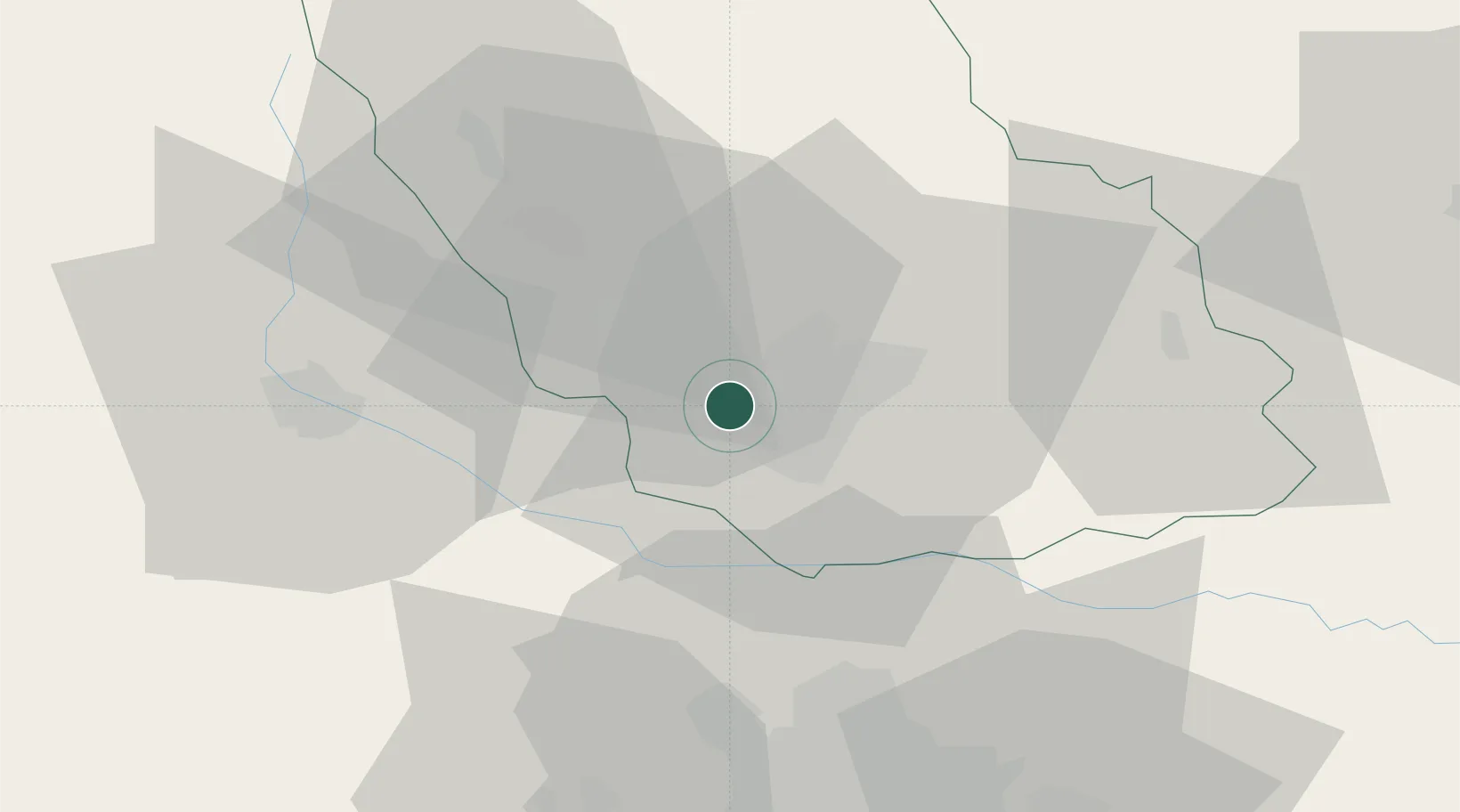
Location
Nearby Logistics Neighbours
Cities
- 1Blejoi8 km
- 2Paulesti8 km
- 3Baicoi13 km
- 4Filipestii de Padure16 km
- 5Cocorastii-Capli21 km
Airports
Trade Zones
- 1VGP Park Buharest North51 km
- 2VGP Park Brasov86 km
- 3Free Zone Galați100 km
- 4Free Zone Giurgiu116 km
- 5Rousse Free Zone117 km
DatabookThe Record of Consolidated Knowledge
Romania beyond logistics?