UN/LOCODE hub · Romania
ROCCP

Cocorastii-Capli

45.0667°, 25.7500°
2
Transport functions

Transport Functions

Road
Multimodal
UN/LOCODE

Hub Profile

Region
PH
GeoNames

Location

Location of ROCCP
Natural Earth 10m (public domain) · PH · ROCCP · 45.07, 25.75GoogleOSMYandex

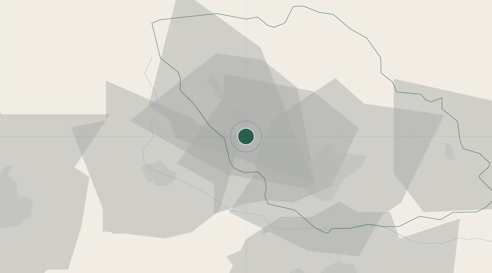
Nearby Logistics Neighbours

Cities
  1. 1Magureni1 km
  2. 2Banesti4 km
  3. 3Filipestii de Padure7 km
  4. 4Câmpina8 km
  5. 5Baicoi9 km
Nearest neighbours — logibook spatial index (haversine) over the source coordinates
Ports
  1. 1Braila176 km
  2. 2Galati187 km
  3. 3Cernavoda199 km
  4. 4Reni204 km
  5. 5Medgidia219 km
Nearest neighbours — logibook spatial index (haversine) over the source coordinates
Airports
  1. 1Bucharest Henri Coandă International Airport62 km
  2. 2Bucharest Băneasa Aurel Vlaicu International Airport69 km
  3. 3Brașov-Ghimbav International Airport73 km
  4. 4Boboc Air Base98 km
  5. 5Sibiu International Airport153 km
Nearest neighbours — logibook spatial index (haversine) over the source coordinates
Trade Zones
  1. 1VGP Park Brasov68 km
  2. 2VGP Park Buharest North68 km
  3. 3Free Zone Galați107 km
  4. 4Free Zone Giurgiu132 km
  5. 5Rousse Free Zone133 km
Nearest neighbours — logibook spatial index (haversine) over the source coordinates
DatabookThe Record of Consolidated Knowledge
Romania beyond logistics?
Browse databook

All Sources

LocationsUN/LOCODE
UN/LOCODE — free
Portsthe NGA World Port Index
Public domain (US gov)
AirportsOurAirports
Public domain
Trade Zonesthe World Bank SEZ database
CC BY 4.0
Trade ZonesOpen Zone Map
CC BY
← Romania locations