Transport Functions
Rail
Multimodal
Hub Profile
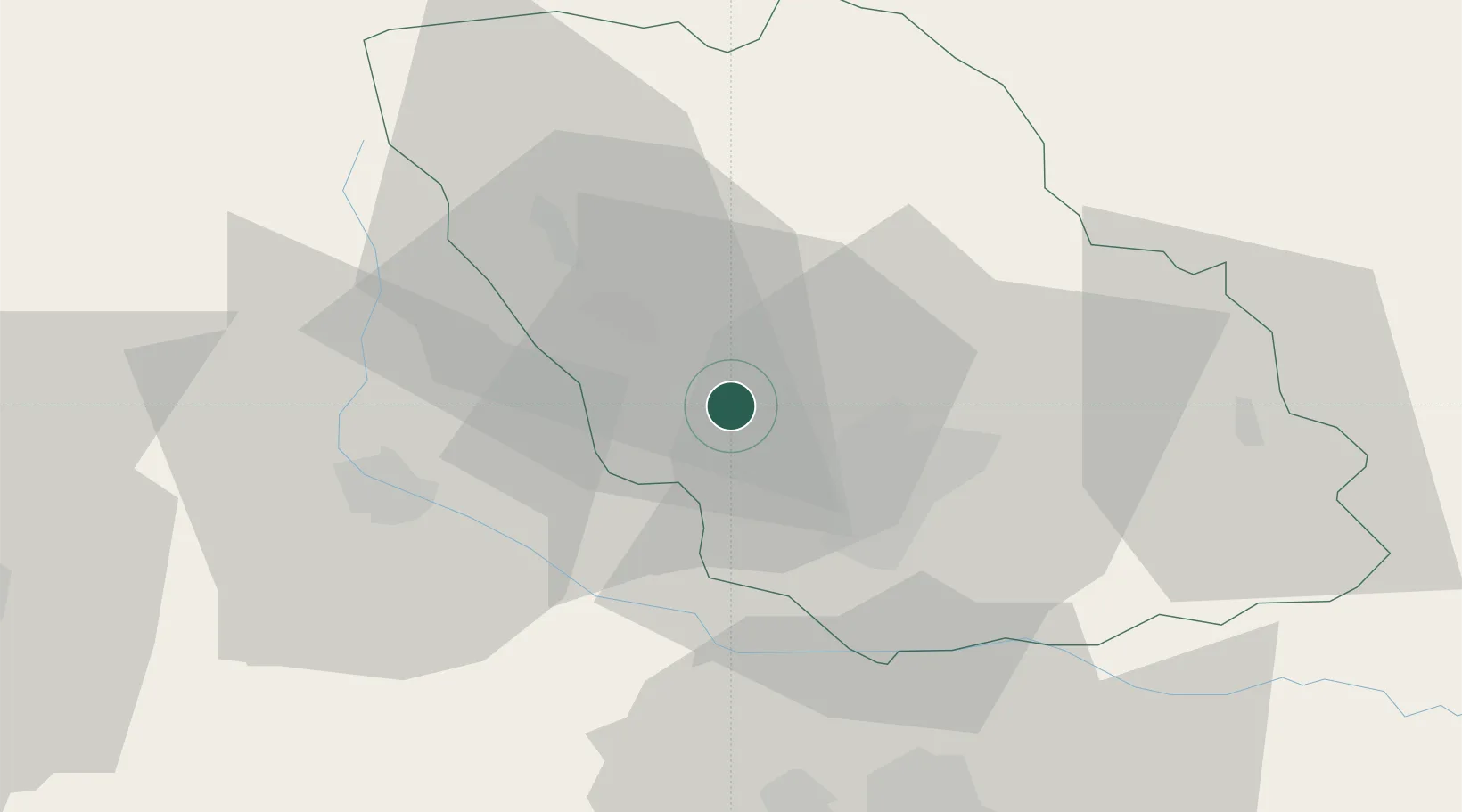
Place type
Provincial seat
Region
Prahova
Population
19,869
Time zone
Europe/Bucharest
Elevation
312 m
Location
Nearby Logistics Neighbours
Cities
- 1Cocorastii-Capli9 km
- 2Filipestii de Padure9 km
- 3Magureni10 km
- 4Banesti10 km
- 5Paulesti11 km
Airports
Trade Zones
- 1VGP Park Buharest North63 km
- 2VGP Park Brasov73 km
- 3Free Zone Galați101 km
- 4Free Zone Giurgiu127 km
- 5Rousse Free Zone128 km
DatabookThe Record of Consolidated Knowledge
Romania beyond logistics?