Transport Functions
Port
Multimodal
Hub Profile
Place type
Provincial seat
Region
Prahova
Population
5,069
Time zone
Europe/Bucharest
Elevation
219 m
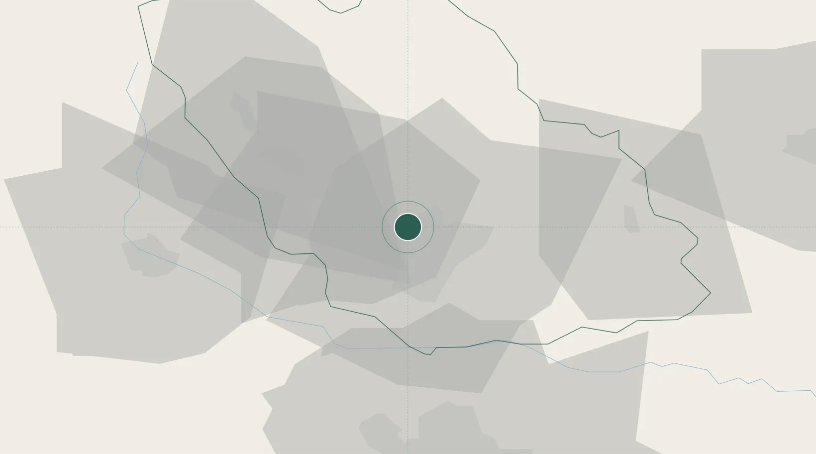
Location
Nearby Logistics Neighbours
Cities
- 1Blejoi2 km
- 2Ploiesti8 km
- 3Baicoi11 km
- 4Filipestii de Padure18 km
- 5Urlati20 km
Airports
Trade Zones
- 1VGP Park Buharest North58 km
- 2VGP Park Brasov81 km
- 3Free Zone Galați93 km
- 4Free Zone Giurgiu123 km
- 5Rousse Free Zone124 km
DatabookThe Record of Consolidated Knowledge
Romania beyond logistics?