Transport Functions
Rail
Road
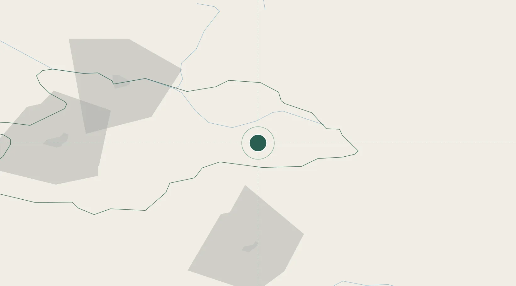
Hub Profile
Place type
Populated place
Region
Maramureş
Population
8,877
Time zone
Europe/Bucharest
Elevation
565 m
Location
Nearby Logistics Neighbours
Cities
- 1Borsa9 km
- 2Maieru32 km
- 3Vadu Izei52 km
- 4Dorna Cândrenilor62 km
- 5Dealu Floreni62 km
Airports
Trade Zones
DatabookThe Record of Consolidated Knowledge
Romania beyond logistics?