Transport Functions
Multimodal
Hub Profile
Place type
Provincial seat
Region
Bistrița-Năsăud County
Population
7,259
Time zone
Europe/Bucharest
Elevation
496 m
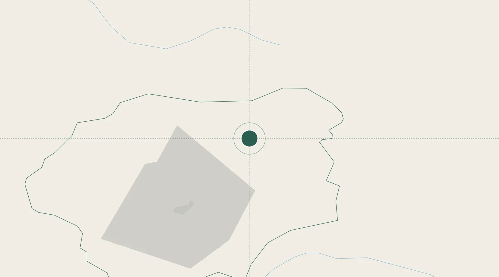
Location
Nearby Logistics Neighbours
Cities
- 1Borsa29 km
- 2Moisei32 km
- 3Dorna Cândrenilor38 km
- 4Dealu Floreni38 km
- 5Barla45 km
Airports
Trade Zones
- 1VGP Park Sibiu187 km
- 2VGP Park Brasov203 km
- 3Zona Economică Liberă Bălți212 km
- 4Customs Free Zone Zahony223 km
- 5Special Economic Zone Kurortopolis Truskavets228 km
DatabookThe Record of Consolidated Knowledge
Romania beyond logistics?