Transport Functions
Rail
Road
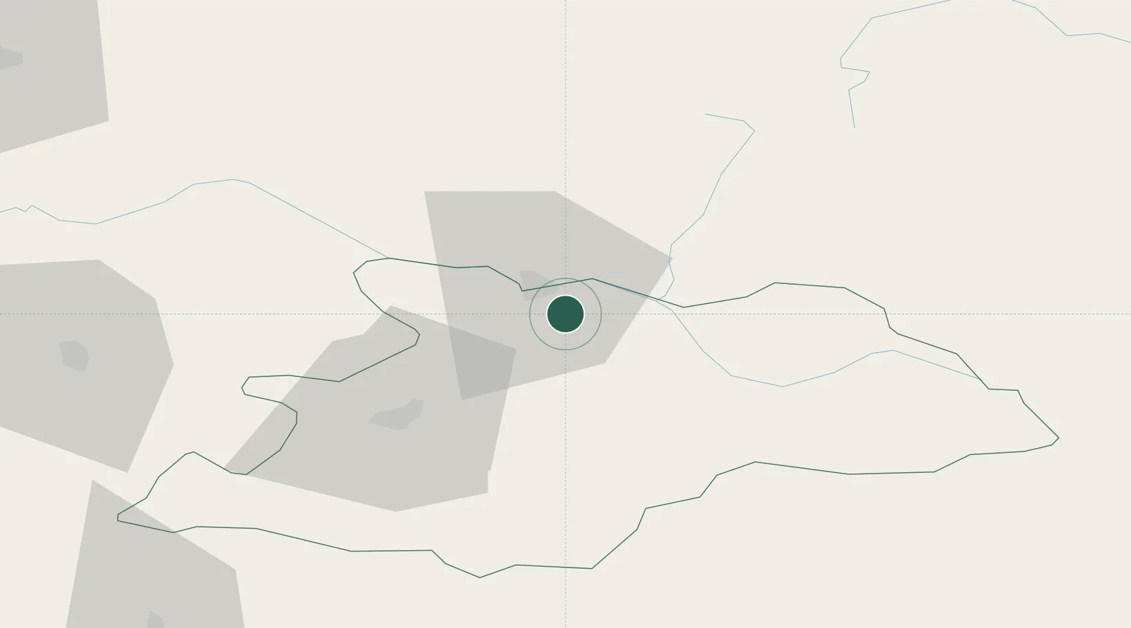
Hub Profile
Place type
Provincial seat
Region
Maramureş
Population
2,336
Time zone
Europe/Bucharest
Elevation
282 m
Location
Nearby Logistics Neighbours
Airports
Trade Zones
DatabookThe Record of Consolidated Knowledge
Romania beyond logistics?