Transport Functions
Rail
Road
Hub Profile
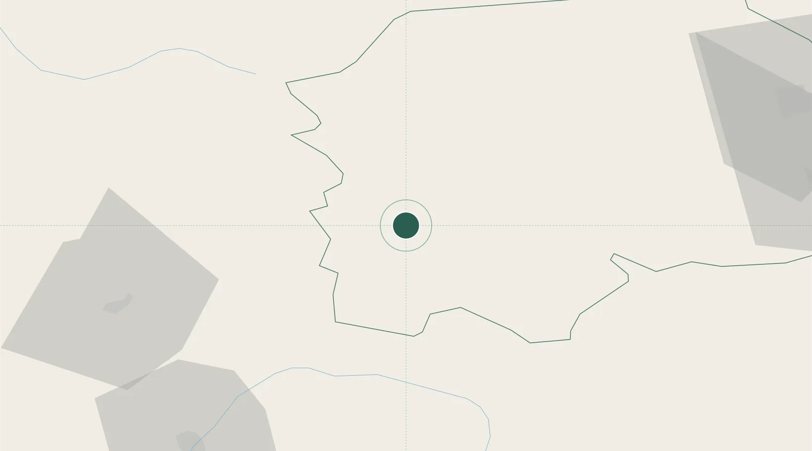
Place type
Populated place
Region
Suceava
Population
638
Time zone
Europe/Bucharest
Elevation
846 m
Location
Nearby Logistics Neighbours
Cities
- 1Dorna Cândrenilor0 km
- 2Vatra Dornei9 km
- 3Maieru38 km
- 4Gura Humorului54 km
- 5Borsa55 km
Airports
Trade Zones
DatabookThe Record of Consolidated Knowledge
Romania beyond logistics?