Transport Functions
Multimodal
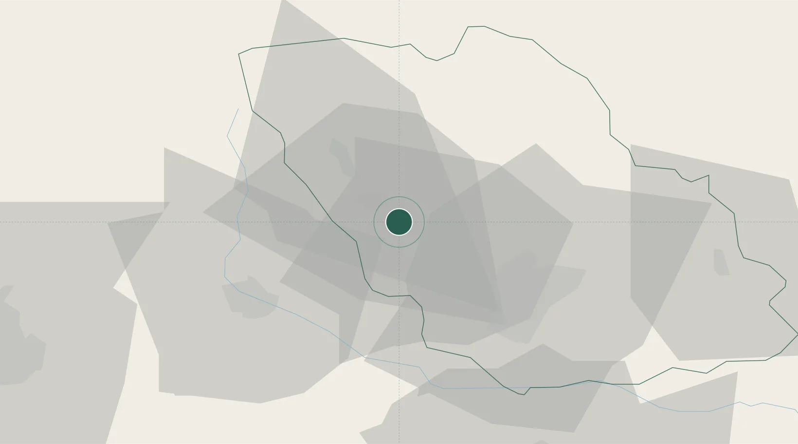
Hub Profile
Place type
Provincial seat
Region
Prahova
Population
5,636
Time zone
Europe/Bucharest
Elevation
401 m
Location
Nearby Logistics Neighbours
Cities
- 1Cocorastii-Capli4 km
- 2Câmpina5 km
- 3Magureni5 km
- 4Baicoi10 km
- 5Filipestii de Padure11 km
Airports
Trade Zones
- 1VGP Park Brasov64 km
- 2VGP Park Buharest North71 km
- 3Free Zone Galați105 km
- 4Free Zone Giurgiu135 km
- 5Rousse Free Zone137 km
DatabookThe Record of Consolidated Knowledge
Romania beyond logistics?