UN/LOCODE hub · Romania
ROMAH

Mahmudia

45.1333°, 29.1333°
4,876
Population
1
Transport functions

Transport Functions

Port
UN/LOCODE

Hub Profile

Place type
Provincial seat
GeoNames
Region
Tulcea County
GeoNames
Population
4,876
GeoNames
Time zone
Europe/Bucharest
GeoNames
Elevation
36 m
GeoNames

Location

Location of ROMAH
Natural Earth 10m (public domain) · Tulcea County · ROMAH · 45.13, 29.13GoogleOSMYandex

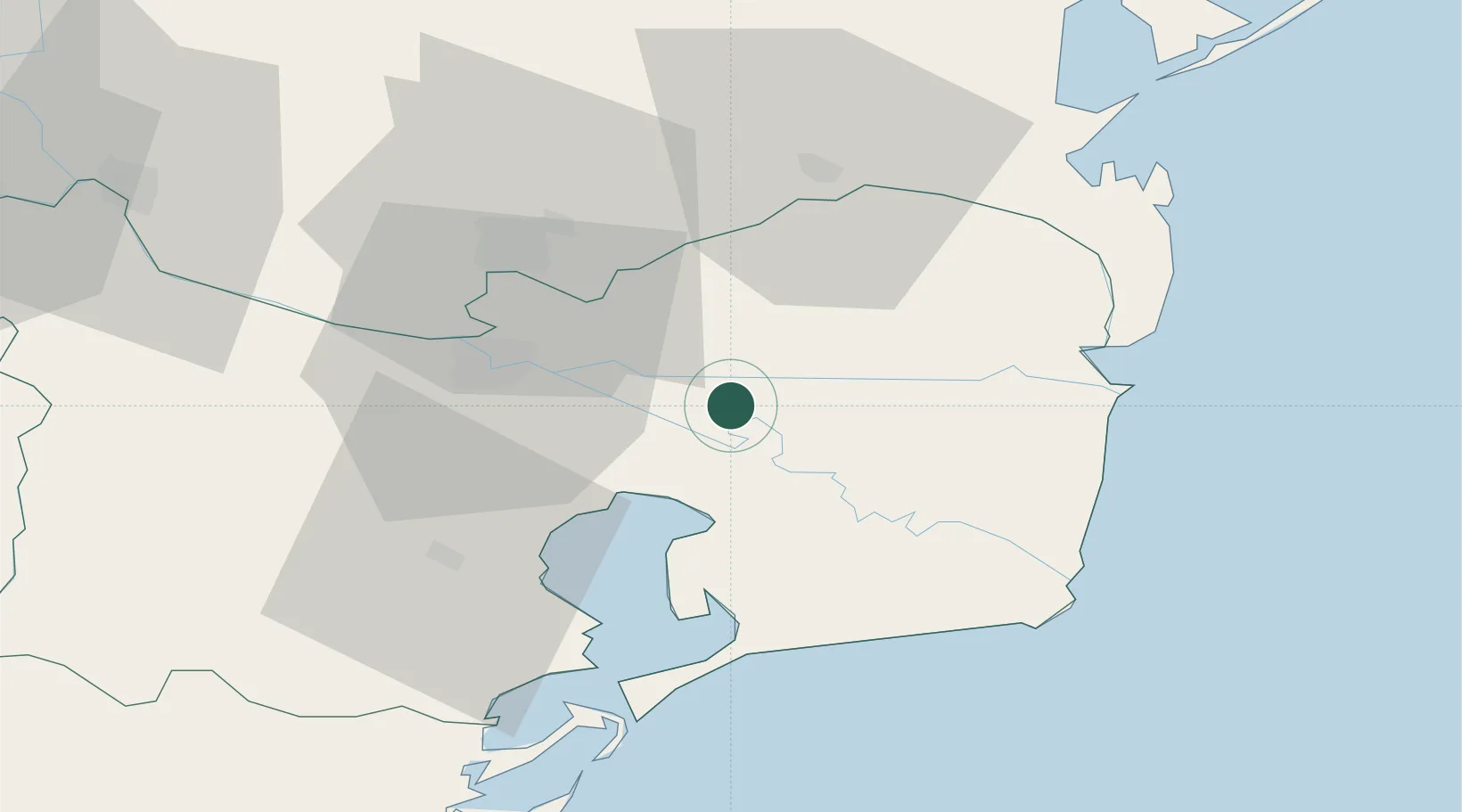
Nearby Logistics Neighbours

Cities
  1. 1Tulcea27 km
  2. 2Izmail31 km
  3. 3Kiliia35 km
  4. 4Babadag42 km
  5. 5Sulina (Port et Zone Franche)42 km
Nearest neighbours — logibook spatial index (haversine) over the source coordinates
Ports
  1. 1Tulcea25 km
  2. 2Izmayil31 km
  3. 3Sulina42 km
  4. 4Ust-Dunaisk58 km
  5. 5Reni73 km
Nearest neighbours — logibook spatial index (haversine) over the source coordinates
Airports
  1. 1Tulcea Danube Delta Airport34 km
  2. 2Zhovtneve Air Base67 km
  3. 3Mihail Kogălniceanu International Airport100 km
  4. 4Cahul International Airport104 km
  5. 5Feteşti Borcea Air Base138 km
Nearest neighbours — logibook spatial index (haversine) over the source coordinates
Trade Zones
  1. 1Free Zone Sulina38 km
  2. 2Reni Special Economic Zone75 km
  3. 3Giurgiulesti International Free Port81 km
  4. 4Free zone Brăila92 km
  5. 5Free Enterprise Zone - Production Park Taraclia93 km
Nearest neighbours — logibook spatial index (haversine) over the source coordinates
DatabookThe Record of Consolidated Knowledge
Romania beyond logistics?
Browse databook

All Sources

LocationsUN/LOCODE
UN/LOCODE — free
LocationsGeoNames
CC BY 4.0
Portsthe NGA World Port Index
Public domain (US gov)
AirportsOurAirports
Public domain
Trade Zonesthe World Bank SEZ database
CC BY 4.0
Trade ZonesOpen Zone Map
CC BY
← Romania locations