Transport Functions
Port
Airport
Border Crossing
Hub Profile
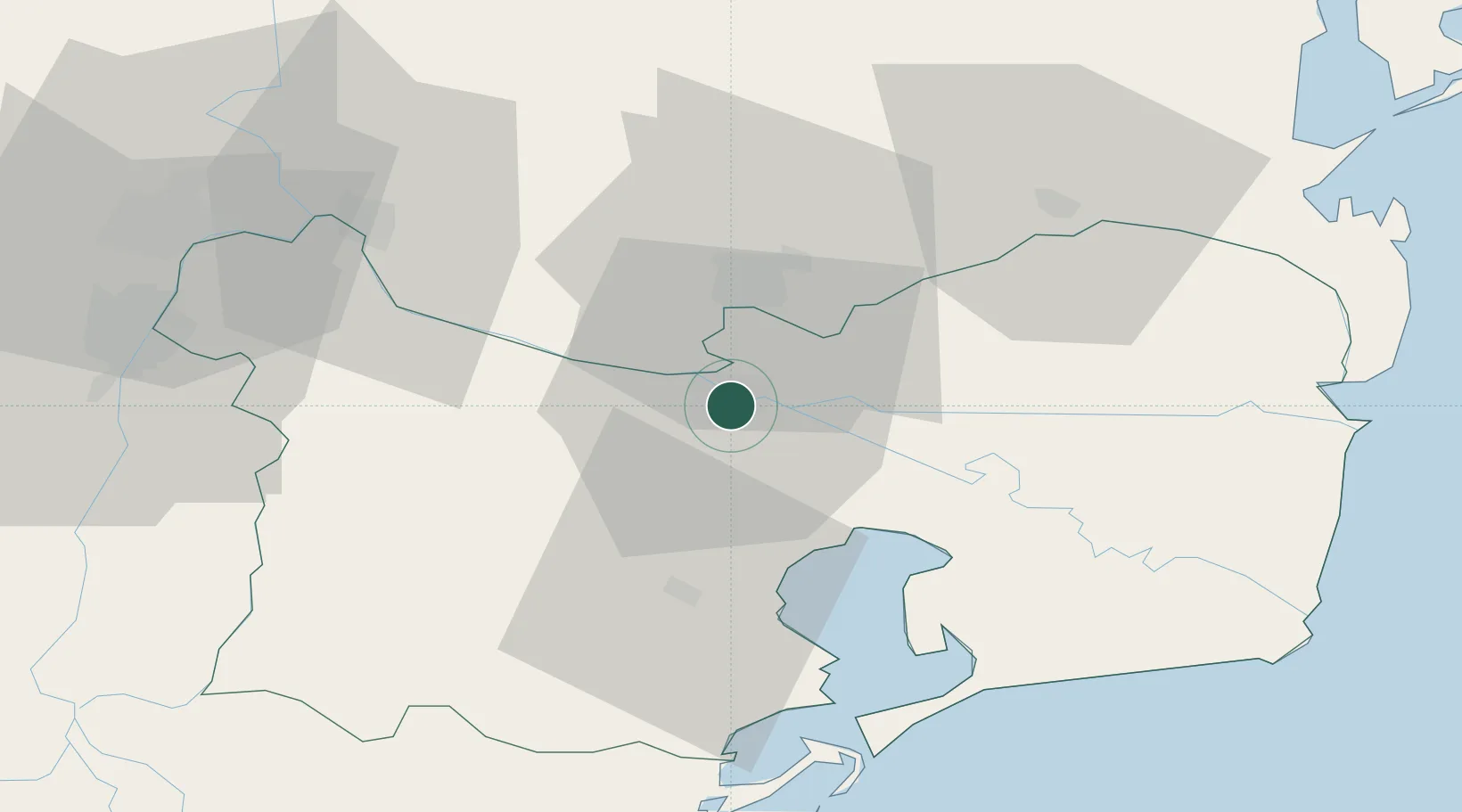
Place type
Regional capital
Region
Tulcea County
Population
65,624
Time zone
Europe/Bucharest
Elevation
5 m
Location
Nearby Logistics Neighbours
Airports
Trade Zones
DatabookThe Record of Consolidated Knowledge
Romania beyond logistics?