Transport Functions
Multimodal
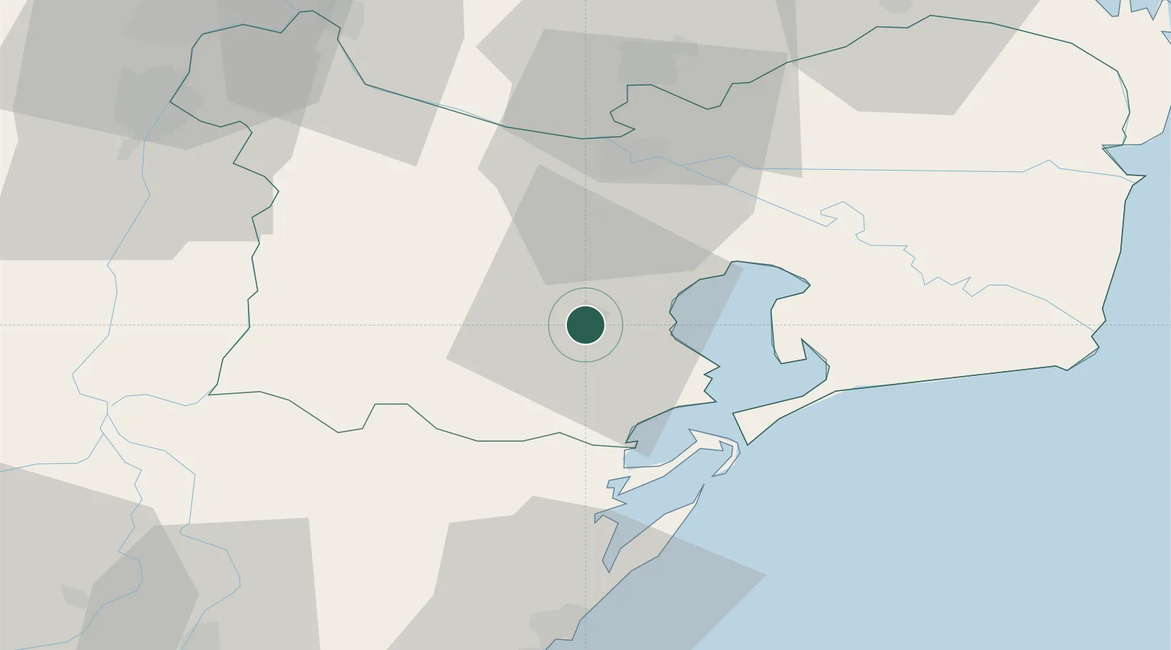
Hub Profile
Place type
Provincial seat
Region
Tulcea County
Population
10,101
Time zone
Europe/Bucharest
Elevation
61 m
Location
Nearby Logistics Neighbours
Airports
Trade Zones
DatabookThe Record of Consolidated Knowledge
Romania beyond logistics?