UN/LOCODE hub · Romania
ROSUL

Sulina (Port et Zone Franche)

45.1500°, 29.6667°
3
Transport functions

Transport Functions

Port
Road
Border Crossing
Sulina (Port et Zone Franche) is also a profiled seaport →
UN/LOCODE

Hub Profile

Region
TL
GeoNames

Location

Location of ROSUL
Natural Earth 10m (public domain) · TL · ROSUL · 45.15, 29.67GoogleOSMYandex

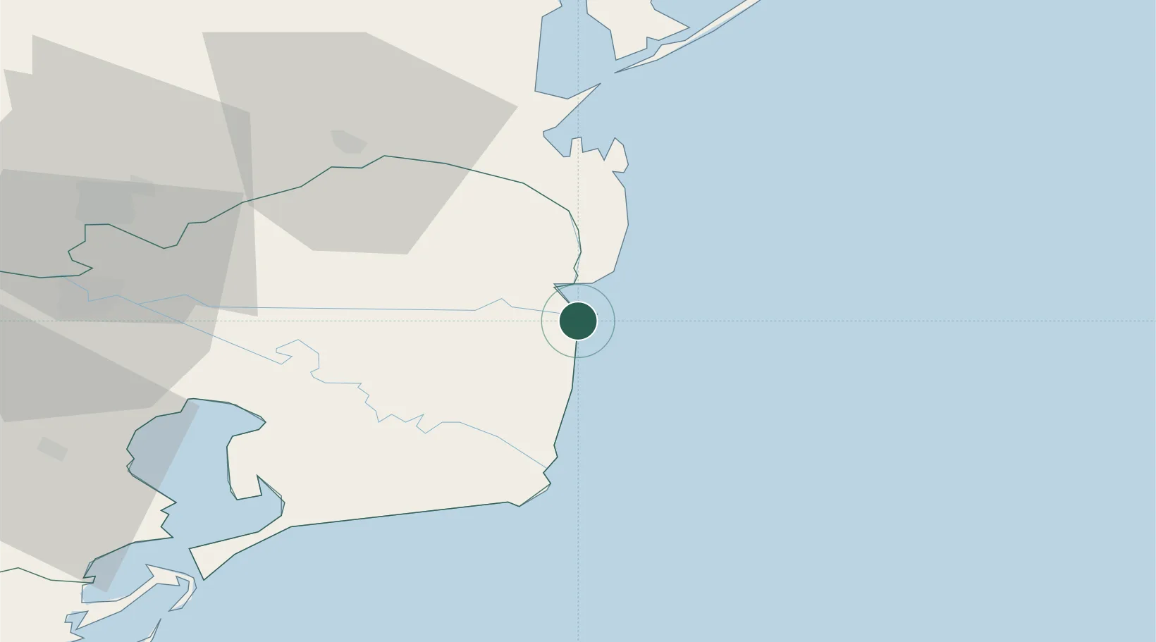
Nearby Logistics Neighbours

Cities
  1. 1Vylkove29 km
  2. 2Ust-Dunaisk/Vylkove35 km
  3. 3Mahmudia42 km
  4. 4Kiliia44 km
  5. 5Chilia Veche63 km
Nearest neighbours — logibook spatial index (haversine) over the source coordinates
Ports
  1. 1Ust-Dunaisk35 km
  2. 2Tulcea67 km
  3. 3Izmayil67 km
  4. 4Reni112 km
  5. 5Midia119 km
Nearest neighbours — logibook spatial index (haversine) over the source coordinates
Airports
  1. 1Tulcea Danube Delta Airport75 km
  2. 2Zhovtneve Air Base95 km
  3. 3Mihail Kogălniceanu International Airport128 km
  4. 4Cahul International Airport134 km
  5. 5Odesa International Airport162 km
Nearest neighbours — logibook spatial index (haversine) over the source coordinates
Trade Zones
  1. 1Free Zone Sulina4 km
  2. 2Reni Special Economic Zone113 km
  3. 3Free Enterprise Zone - Production Park Taraclia115 km
  4. 4Giurgiulesti International Free Port119 km
  5. 5Free Enterprise Zone Tvardita124 km
Nearest neighbours — logibook spatial index (haversine) over the source coordinates
DatabookThe Record of Consolidated Knowledge
Romania beyond logistics?
Browse databook

All Sources

LocationsUN/LOCODE
UN/LOCODE — free
Portsthe NGA World Port Index
Public domain (US gov)
AirportsOurAirports
Public domain
Trade Zonesthe World Bank SEZ database
CC BY 4.0
Trade ZonesOpen Zone Map
CC BY
← Romania locations