Transport Functions
Multimodal
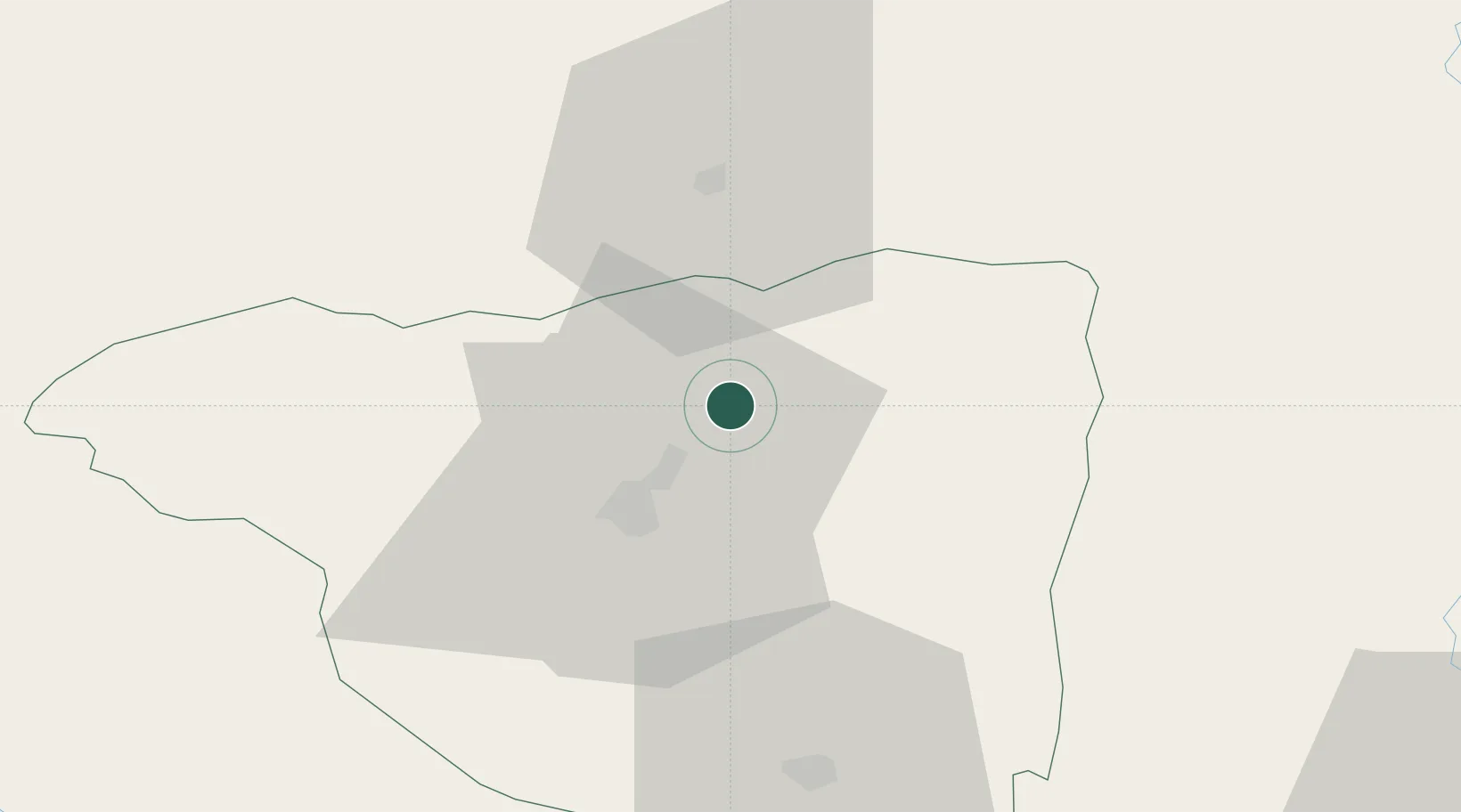
Hub Profile
Place type
Provincial seat
Region
Gorj County
Population
10,445
Time zone
Europe/Bucharest
Elevation
380 m
Location
Nearby Logistics Neighbours
Cities
- 1Tîrgu Jiu16 km
- 2Tarju Jiu18 km
- 3Lupeni24 km
- 4Hateg, Hunedoara61 km
- 5Pausesti-Maglasi67 km
Airports
Trade Zones
- 1VGP Park Sibiu86 km
- 2VGP Park Brasov177 km
- 3VGP Park Timisoara187 km
- 4Vidin Free Trade Zone188 km
- 5Svilajnac Free Zone201 km
DatabookThe Record of Consolidated Knowledge
Romania beyond logistics?