Transport Functions
Port
Rail
Road
Border Crossing
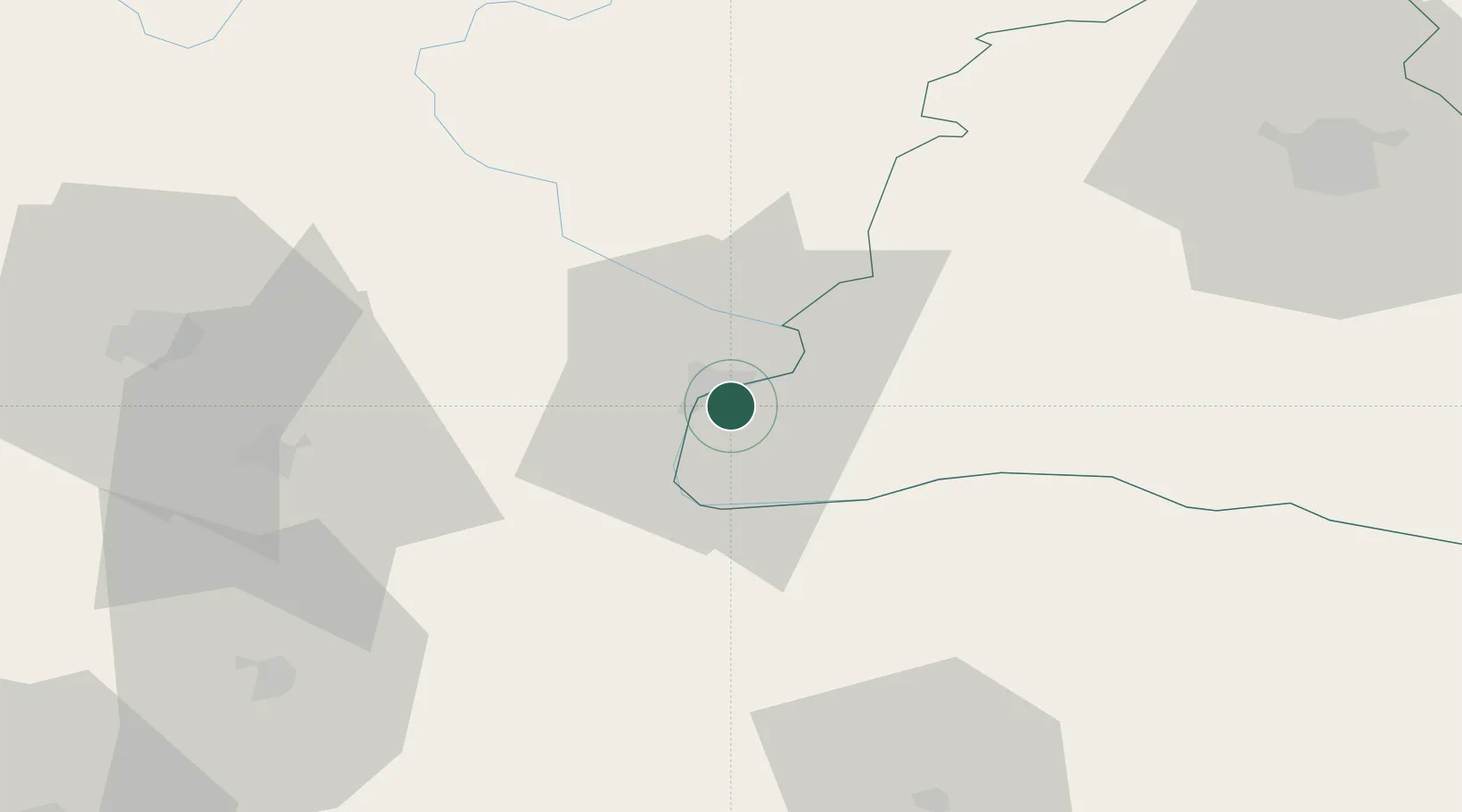
Hub Profile
Place type
Provincial seat
Region
Dolj
Population
18,643
Time zone
Europe/Bucharest
Elevation
53 m
Location
Nearby Logistics Neighbours
Ports
- 1Kavala360 km
- 2Shengjin363 km
- 3Thessaloniki373 km
- 4Bar378 km
- 5Lagos378 km
Airports
- 1Craiova International Airport85 km
- 2Niš Constantine the Great Airport113 km
- 3Dolna Mitropoliya Air Base139 km
- 4Sofia Airport148 km
- 5Caransebeş Airport169 km
Trade Zones
- 1Vidin Free Trade Zone55 km
- 2Pirot Free Zone94 km
- 3Dragoman Free Economic Zone118 km
- 4Kruševac Free Zone134 km
- 5Svilajnac Free Zone142 km
DatabookThe Record of Consolidated Knowledge
Romania beyond logistics?