Transport Functions
Port
Road
Hub Profile
Place type
Populated place
Region
Paraná
Population
5,733
Time zone
America/Sao_Paulo
Elevation
281 m
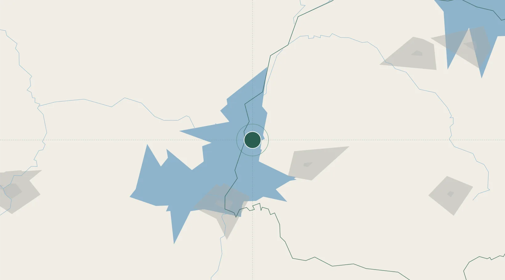
Location
Nearby Logistics Neighbours
Cities
- 1Santa Helena29 km
- 2Terra Roxa52 km
- 3Guaíra59 km
- 4Katuete69 km
- 5Mundo Novo76 km
Ports
- 1Puerto De Asuncion357 km
- 2Paranagua582 km
- 3Sao Francisco589 km
- 4Itajai615 km
- 5Porto Alegre671 km
Airports
Trade Zones
- 1Zona Franca Internacional109 km
- 2Zona Franca Global110 km
- 3Zona Franca Puerto Iguazu Free Trade Zone115 km
- 4ZPE de Bataguassú (MS)374 km
- 5ZPE de Fernandópolis (SP)628 km
DatabookThe Record of Consolidated Knowledge
Brazil beyond logistics?