UN/LOCODE hub · Portugal
PTCSM

Casal do Marco

38.6000°, -9.0833°
1
Transport functions

Transport Functions

Multimodal
UN/LOCODE

Hub Profile

Region
15
GeoNames

Location

Location of PTCSM
Natural Earth 10m (public domain) · 15 · PTCSM · 38.60, -9.08GoogleOSMYandex

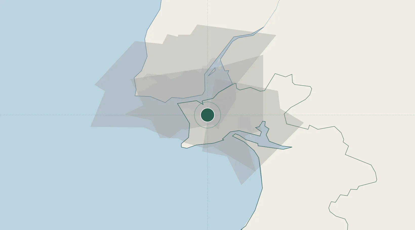
Nearby Logistics Neighbours

Cities
  1. 1Coina3 km
  2. 2Palhais3 km
  3. 3Seixal4 km
  4. 4Barreiro8 km
  5. 5Cova da Piedade9 km
Nearest neighbours — logibook spatial index (haversine) over the source coordinates
Ports
  1. 1Lisboa13 km
  2. 2Setubal18 km
  3. 3Sines75 km
  4. 4Lagos172 km
  5. 5Figueira Da Foz174 km
Nearest neighbours — logibook spatial index (haversine) over the source coordinates
Airports
  1. 1Montijo Air Base13 km
  2. 2Lisbon Humberto Delgado Airport21 km
  3. 3Cascais Airport27 km
  4. 4Alverca Air Base32 km
  5. 5Sintra Air Base34 km
Nearest neighbours — logibook spatial index (haversine) over the source coordinates
Trade Zones
  1. 1Puerto de Huelva239 km
  2. 2VGP Park Santa Maria da Feira263 km
  3. 3Zona Livre Tecnológica Masotinhos288 km
  4. 4Zona Franca de Sevilla305 km
  5. 5Zona Franca de Cádiz341 km
Nearest neighbours — logibook spatial index (haversine) over the source coordinates
DatabookThe Record of Consolidated Knowledge
Portugal beyond logistics?
Browse databook

All Sources

LocationsUN/LOCODE
UN/LOCODE — free
Portsthe NGA World Port Index
Public domain (US gov)
AirportsOurAirports
Public domain
Trade Zonesthe World Bank SEZ database
CC BY 4.0
Trade ZonesOpen Zone Map
CC BY
← Portugal locations