UN/LOCODE hub · Portugal
PTPLH

Palhais

38.6167°, -9.0500°
2
Transport functions

Transport Functions

Road
Multimodal
UN/LOCODE

Hub Profile

Place type
Populated place
GeoNames
Region
Setúbal
GeoNames
Time zone
Europe/Lisbon
GeoNames
Elevation
20 m
GeoNames

Location

Location of PTPLH
Natural Earth 10m (public domain) · Setúbal · PTPLH · 38.62, -9.05GoogleOSMYandex

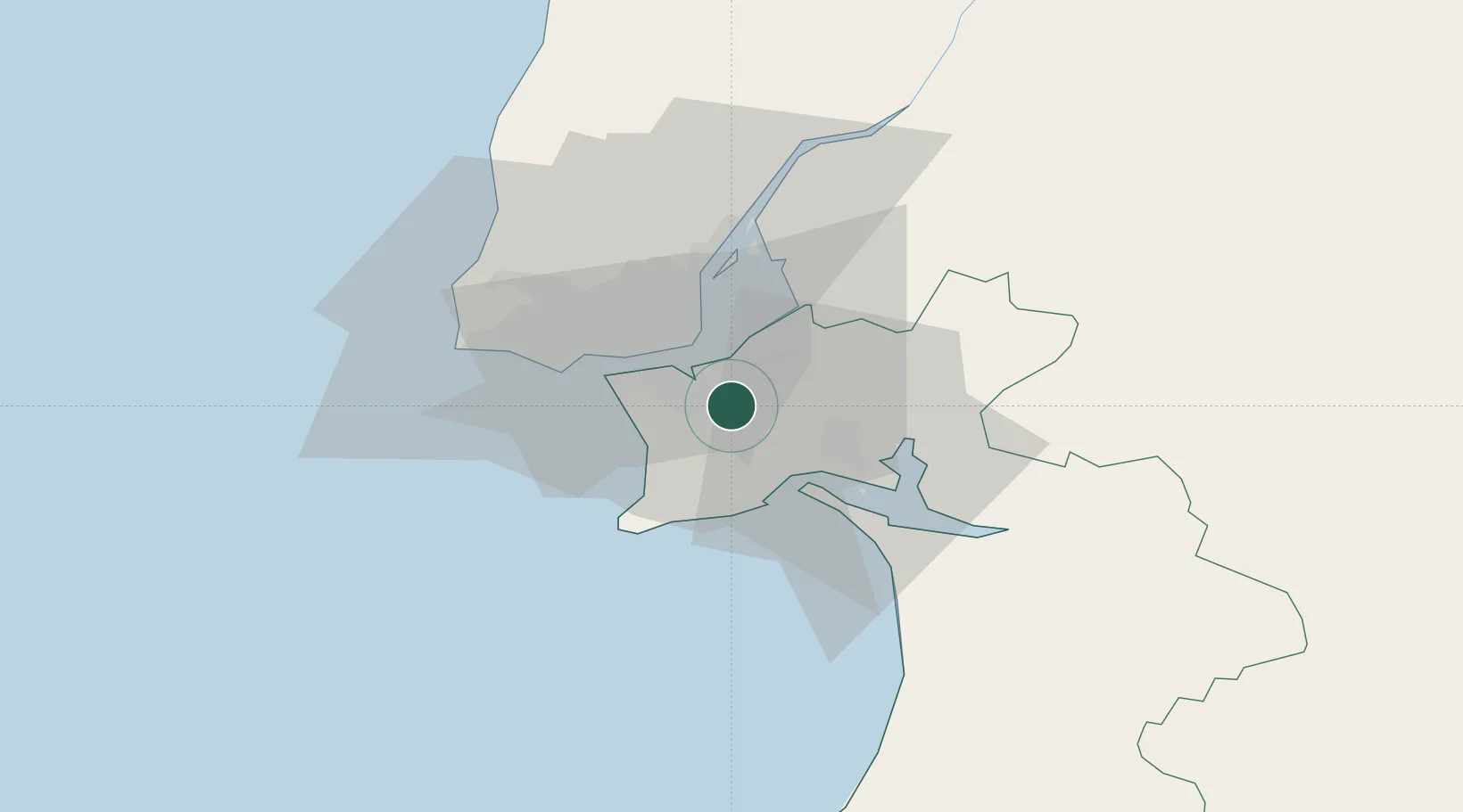
Nearby Logistics Neighbours

Cities
  1. 1Coina2 km
  2. 2Casal do Marco3 km
  3. 3Seixal5 km
  4. 4Barreiro6 km
  5. 5Cova da Piedade10 km
Nearest neighbours — logibook spatial index (haversine) over the source coordinates
Ports
  1. 1Lisboa14 km
  2. 2Setubal17 km
  3. 3Sines76 km
  4. 4Figueira Da Foz171 km
  5. 5Lagos173 km
Nearest neighbours — logibook spatial index (haversine) over the source coordinates
Airports
  1. 1Montijo Air Base10 km
  2. 2Lisbon Humberto Delgado Airport20 km
  3. 3Cascais Airport29 km
  4. 4Alverca Air Base30 km
  5. 5Sintra Air Base35 km
Nearest neighbours — logibook spatial index (haversine) over the source coordinates
Trade Zones
  1. 1Puerto de Huelva237 km
  2. 2VGP Park Santa Maria da Feira261 km
  3. 3Zona Livre Tecnológica Masotinhos286 km
  4. 4Zona Franca de Sevilla303 km
  5. 5Zona Franca de Cádiz340 km
Nearest neighbours — logibook spatial index (haversine) over the source coordinates
DatabookThe Record of Consolidated Knowledge
Portugal beyond logistics?
Browse databook

All Sources

LocationsUN/LOCODE
UN/LOCODE — free
Portsthe NGA World Port Index
Public domain (US gov)
AirportsOurAirports
Public domain
Trade Zonesthe World Bank SEZ database
CC BY 4.0
Trade ZonesOpen Zone Map
CC BY
← Portugal locations