Transport Functions
Port
Hub Profile
Place type
Populated place
Region
Lisbon
Time zone
Europe/Lisbon
Elevation
247 m
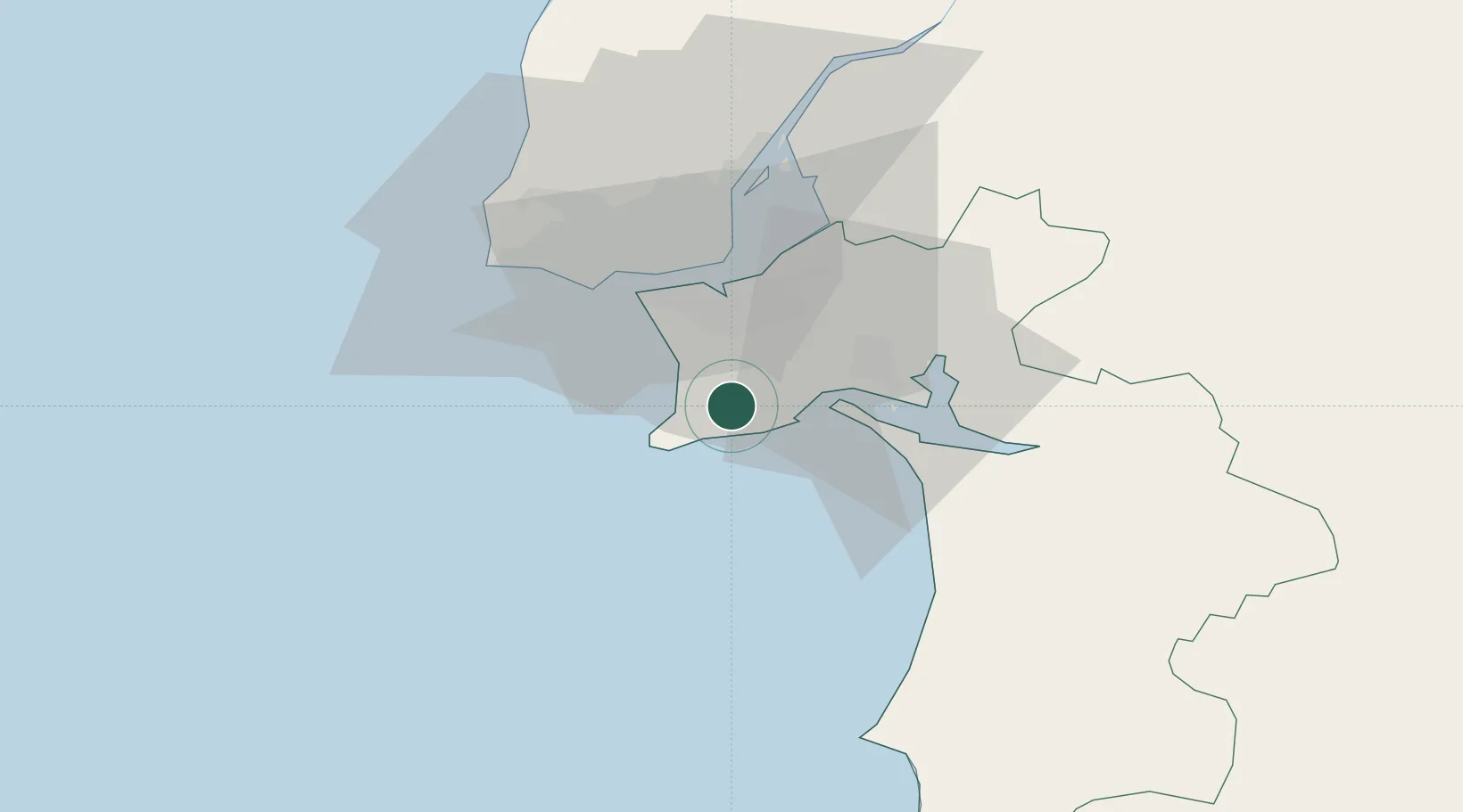
Location
Nearby Logistics Neighbours
Cities
- 1Sesimbra6 km
- 2Vila Nogueira de Azeitao8 km
- 3Fonte da Telha12 km
- 4Casal do Marco13 km
- 5Coina14 km
Ports
- 1Setubal18 km
- 2Lisboa25 km
- 3Sines63 km
- 4Lagos160 km
- 5Figueira Da Foz187 km
Airports
- 1Montijo Air Base26 km
- 2Lisbon Humberto Delgado Airport33 km
- 3Cascais Airport35 km
- 4Sintra Air Base44 km
- 5Alverca Air Base45 km
Trade Zones
- 1Puerto de Huelva232 km
- 2VGP Park Santa Maria da Feira276 km
- 3Zona Franca de Sevilla300 km
- 4Zona Livre Tecnológica Masotinhos302 km
- 5Zona Franca de Cádiz333 km
DatabookThe Record of Consolidated Knowledge
Portugal beyond logistics?