Transport Functions
Multimodal
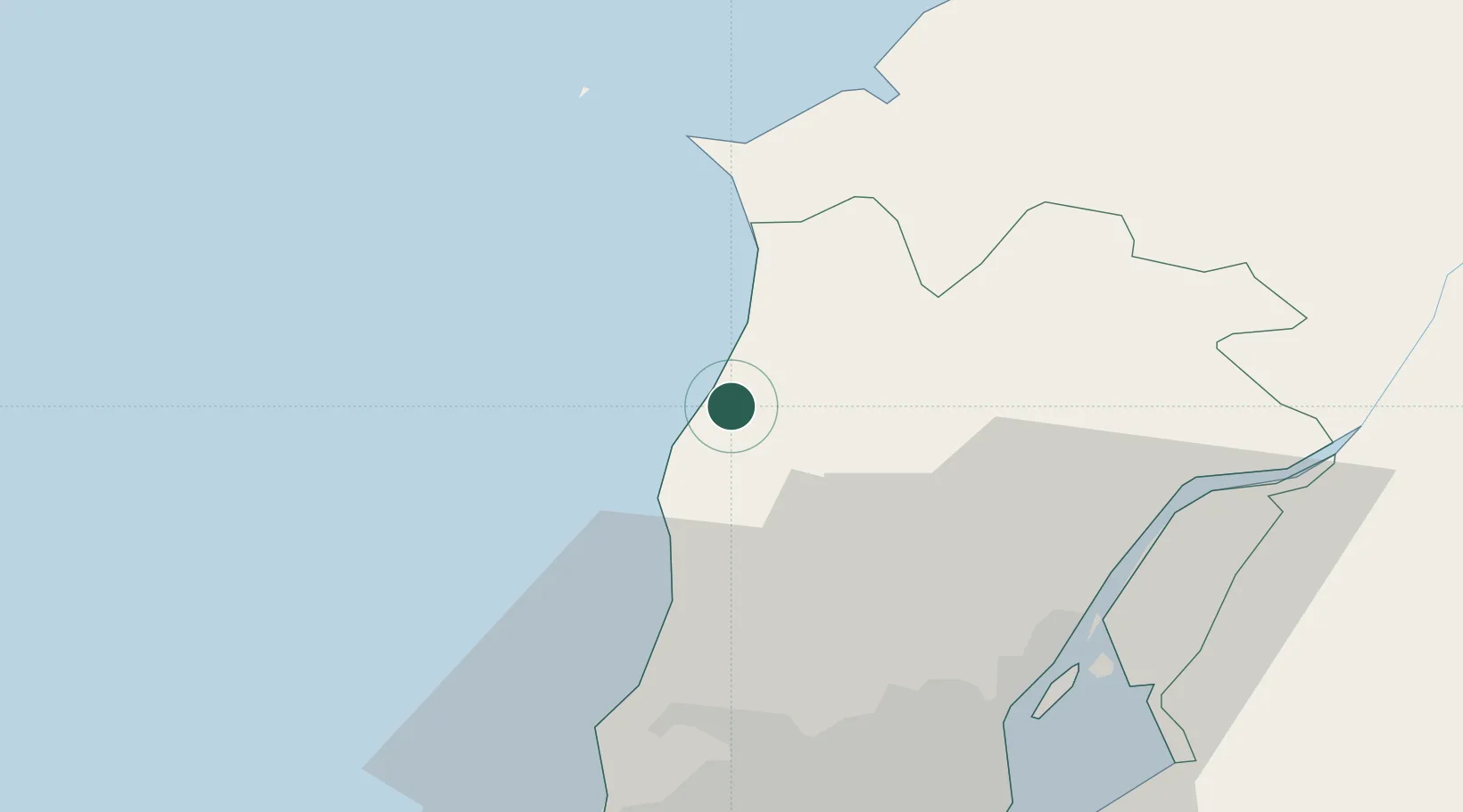
Hub Profile
Place type
Populated place
Region
Lisbon
Population
6,942
Time zone
Europe/Lisbon
Elevation
37 m
Location
Nearby Logistics Neighbours
Cities
- 1A dos Cunhados7 km
- 2Torres Vedras9 km
- 3Mafra21 km
- 4Malveira23 km
- 5Bombarral25 km
Ports
- 1Lisboa50 km
- 2Setubal78 km
- 3Figueira Da Foz123 km
- 4Sines137 km
- 5Aveiro181 km
Airports
- 1Sintra Air Base32 km
- 2Alverca Air Base39 km
- 3Lisbon Humberto Delgado Airport42 km
- 4Cascais Airport44 km
- 5Montijo Air Base54 km
Trade Zones
- 1VGP Park Santa Maria da Feira213 km
- 2Zona Livre Tecnológica Masotinhos236 km
- 3Puerto de Huelva295 km
- 4Zona Franca de Vigo350 km
- 5Zona Franca de Sevilla355 km
DatabookThe Record of Consolidated Knowledge
Portugal beyond logistics?