UN/LOCODE hub · Portugal
PTTZA
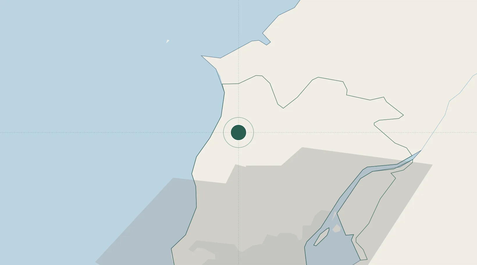
A dos Cunhados
39.1500°, -9.3000°
6,594
Population
2
Transport functions
Transport Functions
Road
Multimodal
Hub Profile
Place type
Populated place
Region
Lisbon
Population
6,594
Time zone
Europe/Lisbon
Elevation
32 m
Location
Nearby Logistics Neighbours
Cities
- 1Torres Vedras6 km
- 2Silveira7 km
- 3Bombarral18 km
- 4Peniche23 km
- 5Mafra24 km
Ports
- 1Lisboa51 km
- 2Setubal79 km
- 3Figueira Da Foz118 km
- 4Sines139 km
- 5Aveiro176 km
Airports
- 1Sintra Air Base36 km
- 2Alverca Air Base38 km
- 3Lisbon Humberto Delgado Airport43 km
- 4Cascais Airport48 km
- 5Montijo Air Base54 km
Trade Zones
- 1VGP Park Santa Maria da Feira208 km
- 2Zona Livre Tecnológica Masotinhos231 km
- 3Puerto de Huelva293 km
- 4Zona Franca de Vigo345 km
- 5Zona Franca de Sevilla352 km
DatabookThe Record of Consolidated Knowledge
Portugal beyond logistics?