Transport Functions
Rail
Road
Hub Profile
Place type
Provincial seat
Region
Lisbon
Population
12,259
Time zone
Europe/Lisbon
Elevation
300 m
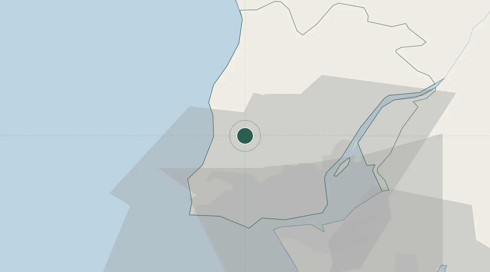
Location
Nearby Logistics Neighbours
Cities
- 1Malveira7 km
- 2Pero Pinheiro9 km
- 3Mortena9 km
- 4Sao Joao das Lampas9 km
- 5Cortegaca11 km
Ports
- 1Lisboa30 km
- 2Setubal60 km
- 3Sines117 km
- 4Figueira Da Foz142 km
- 5Aveiro200 km
Airports
- 1Sintra Air Base11 km
- 2Cascais Airport23 km
- 3Lisbon Humberto Delgado Airport24 km
- 4Alverca Air Base27 km
- 5Montijo Air Base36 km
Trade Zones
- 1VGP Park Santa Maria da Feira232 km
- 2Zona Livre Tecnológica Masotinhos255 km
- 3Puerto de Huelva279 km
- 4Zona Franca de Sevilla341 km
- 5Zona Franca de Vigo370 km
DatabookThe Record of Consolidated Knowledge
Portugal beyond logistics?