UN/LOCODE hub · Portugal
PTTVE
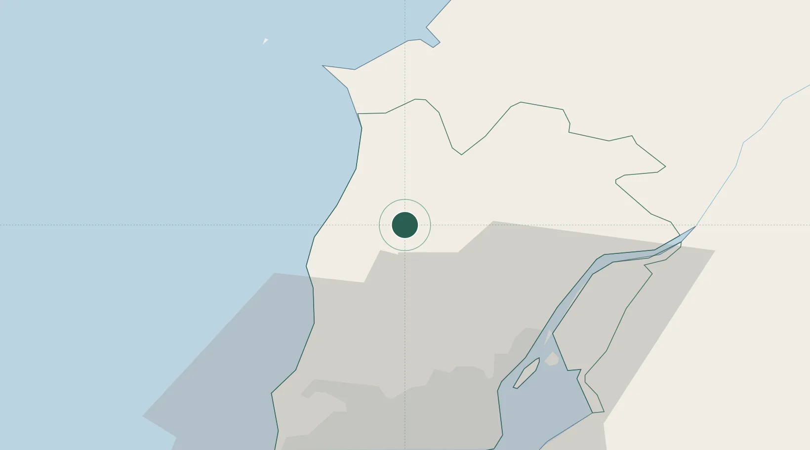
Torres Vedras
39.1000°, -9.2667°
24,443
Population
2
Transport functions
Transport Functions
Rail
Road
Hub Profile
Place type
Provincial seat
Region
Lisbon
Population
24,443
Time zone
Europe/Lisbon
Elevation
41 m
Location
Nearby Logistics Neighbours
Cities
- 1A dos Cunhados6 km
- 2Silveira9 km
- 3Malveira19 km
- 4Mafra19 km
- 5Bombarral21 km
Ports
- 1Lisboa45 km
- 2Setubal72 km
- 3Figueira Da Foz122 km
- 4Sines133 km
- 5Aveiro180 km
Airports
- 1Sintra Air Base31 km
- 2Alverca Air Base32 km
- 3Lisbon Humberto Delgado Airport37 km
- 4Cascais Airport42 km
- 5Montijo Air Base48 km
Trade Zones
- 1VGP Park Santa Maria da Feira212 km
- 2Zona Livre Tecnológica Masotinhos236 km
- 3Puerto de Huelva287 km
- 4Zona Franca de Sevilla346 km
- 5Zona Franca de Vigo351 km
DatabookThe Record of Consolidated Knowledge
Portugal beyond logistics?