Transport Functions
Rail
Road
Hub Profile
Place type
Populated place
Region
Lisbon
Population
9,647
Time zone
Europe/Lisbon
Elevation
253 m
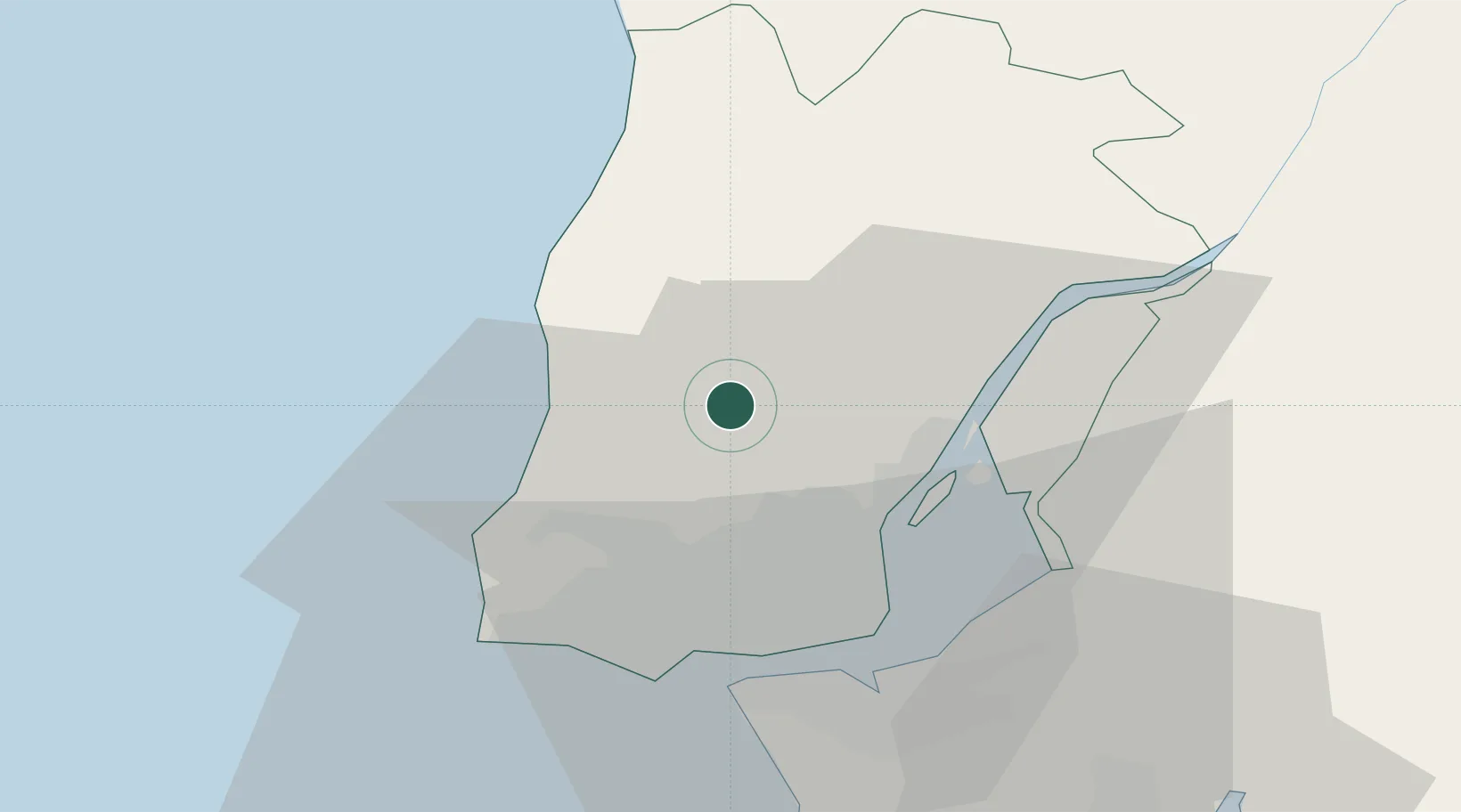
Location
Nearby Logistics Neighbours
Cities
- 1Mafra7 km
- 2Mortena11 km
- 3Pero Pinheiro12 km
- 4Cortegaca13 km
- 5Sabugo14 km
Ports
- 1Lisboa27 km
- 2Setubal55 km
- 3Sines114 km
- 4Figueira Da Foz140 km
- 5Aveiro198 km
Airports
- 1Sintra Air Base14 km
- 2Lisbon Humberto Delgado Airport20 km
- 3Alverca Air Base20 km
- 4Cascais Airport25 km
- 5Montijo Air Base31 km
Trade Zones
- 1VGP Park Santa Maria da Feira230 km
- 2Zona Livre Tecnológica Masotinhos254 km
- 3Puerto de Huelva274 km
- 4Zona Franca de Sevilla335 km
- 5Zona Franca de Vigo369 km
DatabookThe Record of Consolidated Knowledge
Portugal beyond logistics?