Transport Functions
Port
Road
Hub Profile
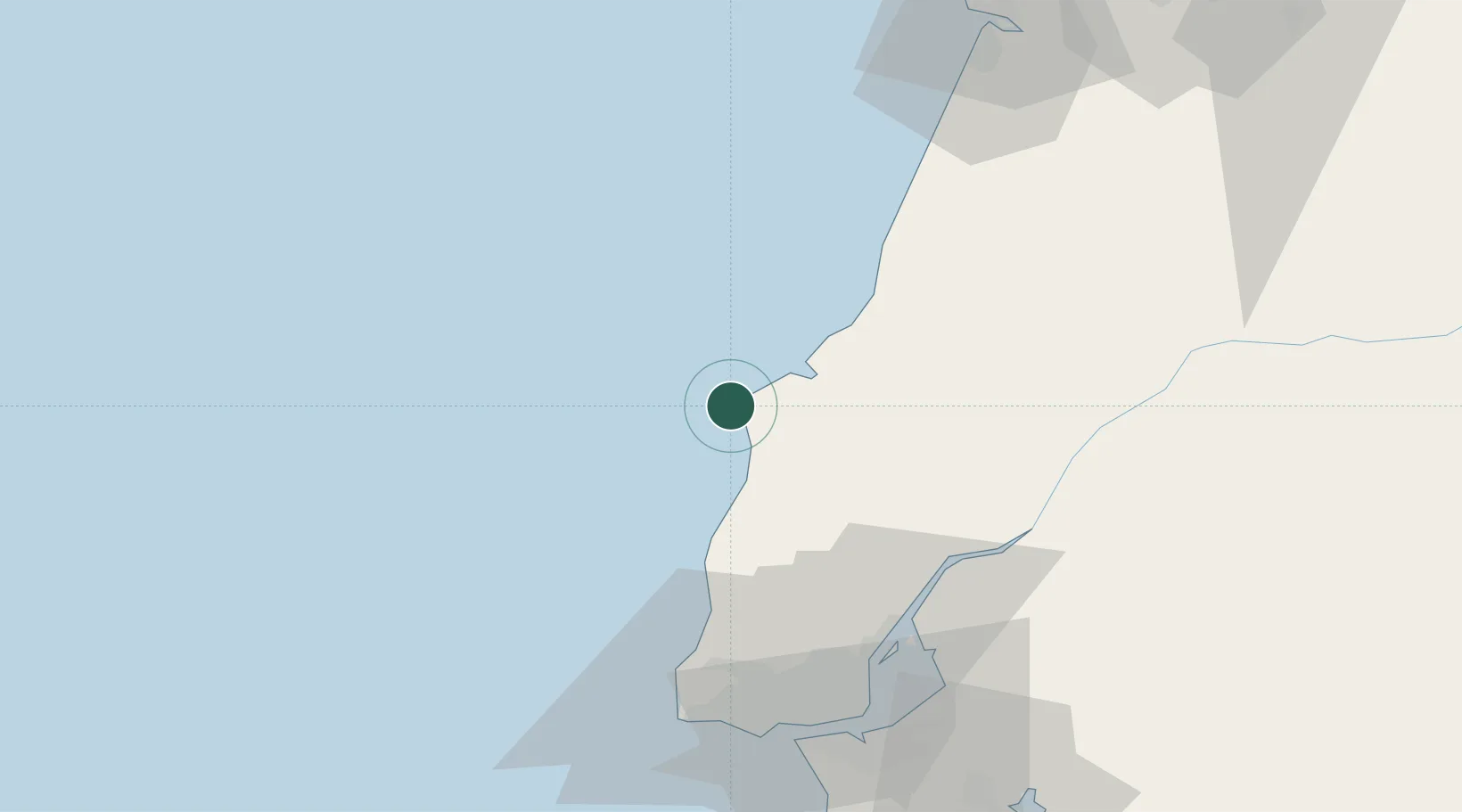
Place type
Populated place
Region
Leiria
Population
15,662
Time zone
Europe/Lisbon
Elevation
17 m
Location
Nearby Logistics Neighbours
Cities
- 1Foz do Arelho17 km
- 2Óbidos20 km
- 3Bombarral22 km
- 4Caldas da Rainha22 km
- 5A dos Cunhados23 km
Ports
- 1Lisboa75 km
- 2Figueira Da Foz100 km
- 3Setubal102 km
- 4Aveiro158 km
- 5Sines162 km
Airports
- 1Sintra Air Base58 km
- 2Alverca Air Base60 km
- 3Lisbon Humberto Delgado Airport67 km
- 4Monte Real Air Base68 km
- 5Cascais Airport70 km
Trade Zones
- 1VGP Park Santa Maria da Feira189 km
- 2Zona Livre Tecnológica Masotinhos212 km
- 3Puerto de Huelva314 km
- 4Zona Franca de Vigo324 km
- 5Zona Franca de Sevilla370 km
DatabookThe Record of Consolidated Knowledge
Portugal beyond logistics?