UN/LOCODE hub · Portugal
PTSTA

Sintra

38.8000°, -9.3833°
26,193
Population
3
Transport functions

Transport Functions

Rail
Road
Multimodal
UN/LOCODE

Hub Profile

Place type
Provincial seat
GeoNames
Region
Lisbon
GeoNames
Population
26,193
GeoNames
Time zone
Europe/Lisbon
GeoNames
Elevation
197 m
GeoNames

Location

Location of PTSTA
Natural Earth 10m (public domain) · Lisbon · PTSTA · 38.80, -9.38GoogleOSMYandex

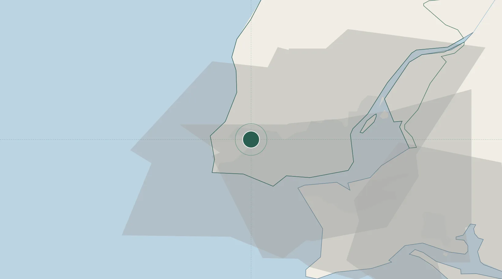
Nearby Logistics Neighbours

Cities
  1. 1Abrunheira4 km
  2. 2Cortegaca7 km
  3. 3Azenhas do Mar7 km
  4. 4Pero Pinheiro7 km
  5. 5Sabugo8 km
Nearest neighbours — logibook spatial index (haversine) over the source coordinates
Ports
  1. 1Lisboa22 km
  2. 2Setubal53 km
  3. 3Sines105 km
  4. 4Figueira Da Foz157 km
  5. 5Lagos201 km
Nearest neighbours — logibook spatial index (haversine) over the source coordinates
Airports
  1. 1Sintra Air Base5 km
  2. 2Cascais Airport9 km
  3. 3Lisbon Humberto Delgado Airport22 km
  4. 4Montijo Air Base32 km
  5. 5Alverca Air Base32 km
Nearest neighbours — logibook spatial index (haversine) over the source coordinates
Trade Zones
  1. 1VGP Park Santa Maria da Feira247 km
  2. 2Zona Livre Tecnológica Masotinhos271 km
  3. 3Puerto de Huelva273 km
  4. 4Zona Franca de Sevilla338 km
  5. 5Zona Franca de Cádiz375 km
Nearest neighbours — logibook spatial index (haversine) over the source coordinates
DatabookThe Record of Consolidated Knowledge
Portugal beyond logistics?
Browse databook

All Sources

LocationsUN/LOCODE
UN/LOCODE — free
LocationsGeoNames
CC BY 4.0
Portsthe NGA World Port Index
Public domain (US gov)
AirportsOurAirports
Public domain
Trade Zonesthe World Bank SEZ database
CC BY 4.0
Trade ZonesOpen Zone Map
CC BY
← Portugal locations