Transport Functions
Multimodal
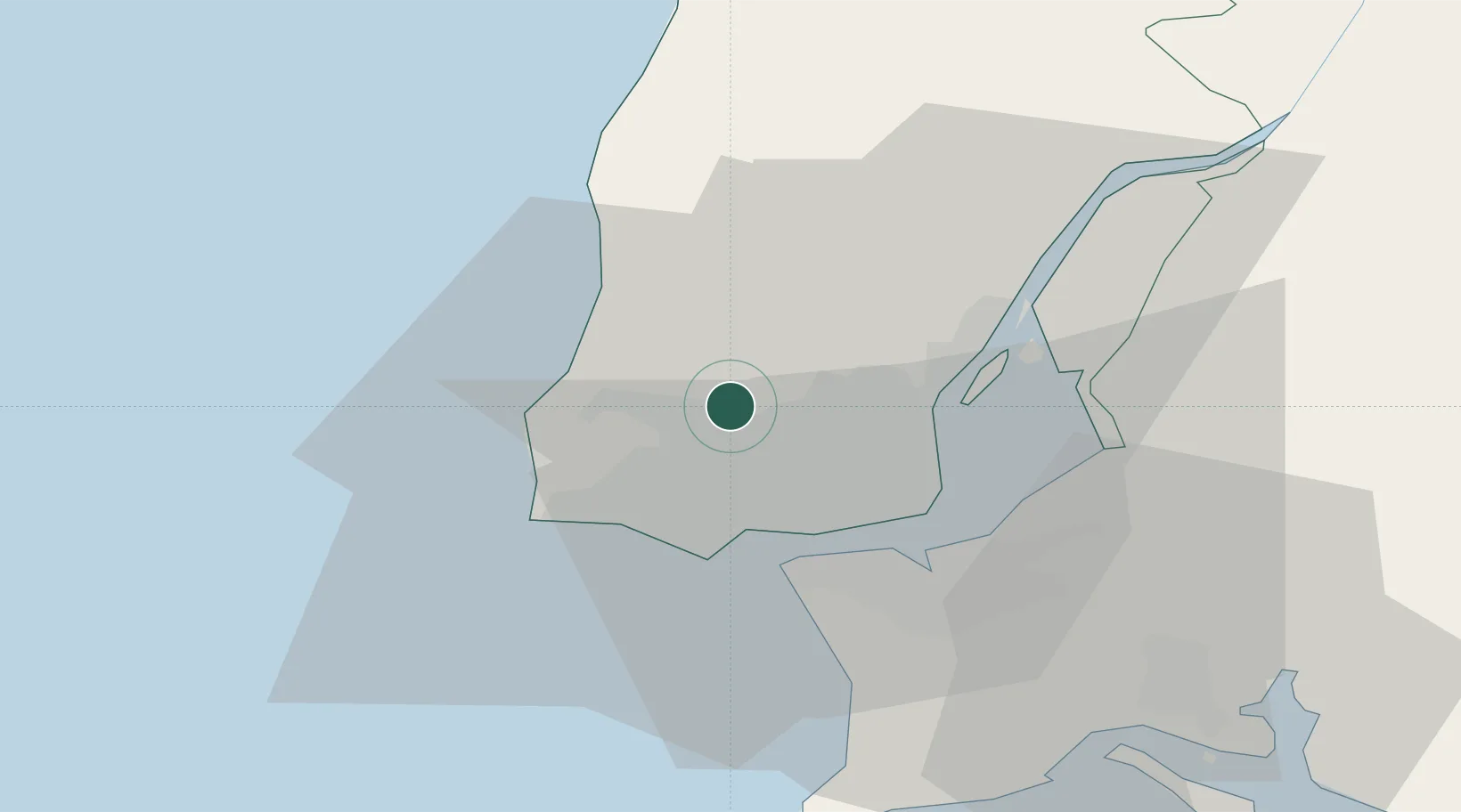
Hub Profile
Place type
Populated place
Region
Lisbon
Time zone
Europe/Lisbon
Elevation
213 m
Location
Nearby Logistics Neighbours
Cities
- 1Cortegaca2 km
- 2Mortena4 km
- 3Pero Pinheiro5 km
- 4Cacém6 km
- 5Belas6 km
Ports
- 1Lisboa17 km
- 2Setubal48 km
- 3Sines104 km
- 4Figueira Da Foz153 km
- 5Lagos200 km
Airports
- 1Sintra Air Base4 km
- 2Cascais Airport11 km
- 3Lisbon Humberto Delgado Airport15 km
- 4Alverca Air Base25 km
- 5Montijo Air Base26 km
Trade Zones
- 1VGP Park Santa Maria da Feira243 km
- 2Zona Livre Tecnológica Masotinhos268 km
- 3Puerto de Huelva268 km
- 4Zona Franca de Sevilla333 km
- 5Zona Franca de Cádiz371 km
DatabookThe Record of Consolidated Knowledge
Portugal beyond logistics?