Transport Functions
Port
Hub Profile
Place type
Populated place
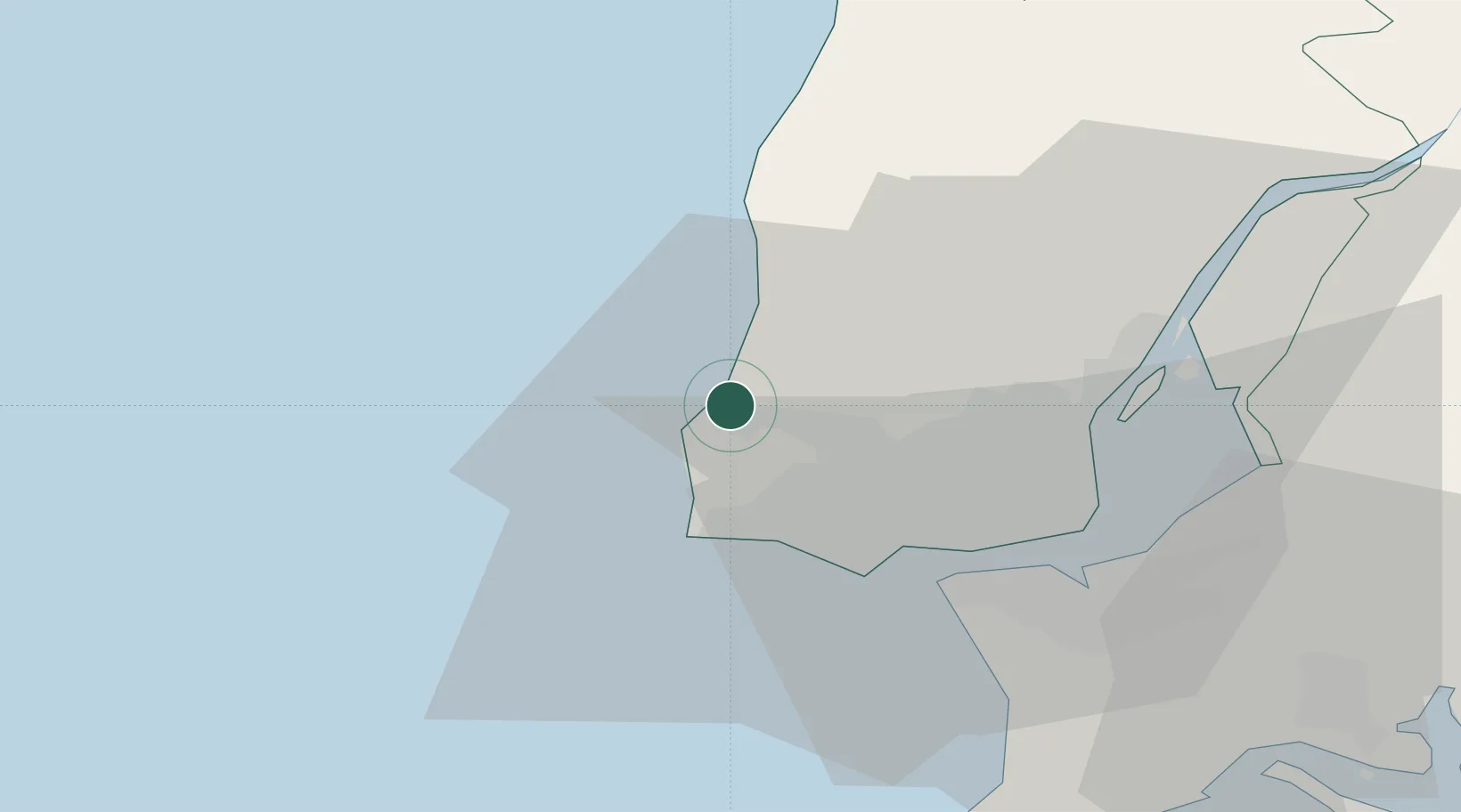
Region
Lisbon
Population
800
Time zone
Europe/Lisbon
Elevation
60 m
Location
Nearby Logistics Neighbours
Cities
- 1Sao Joao das Lampas6 km
- 2Sintra7 km
- 3Pero Pinheiro10 km
- 4Abrunheira10 km
- 5Cortegaca12 km
Ports
- 1Lisboa29 km
- 2Setubal59 km
- 3Sines111 km
- 4Figueira Da Foz155 km
- 5Lagos206 km
Airports
- 1Sintra Air Base10 km
- 2Cascais Airport15 km
- 3Lisbon Humberto Delgado Airport28 km
- 4Alverca Air Base37 km
- 5Montijo Air Base39 km
Trade Zones
- 1VGP Park Santa Maria da Feira245 km
- 2Zona Livre Tecnológica Masotinhos269 km
- 3Puerto de Huelva280 km
- 4Zona Franca de Sevilla345 km
- 5Zona Franca de Cádiz382 km
DatabookThe Record of Consolidated Knowledge
Portugal beyond logistics?