Transport Functions
Rail
Road
Hub Profile
Place type
Populated place
Region
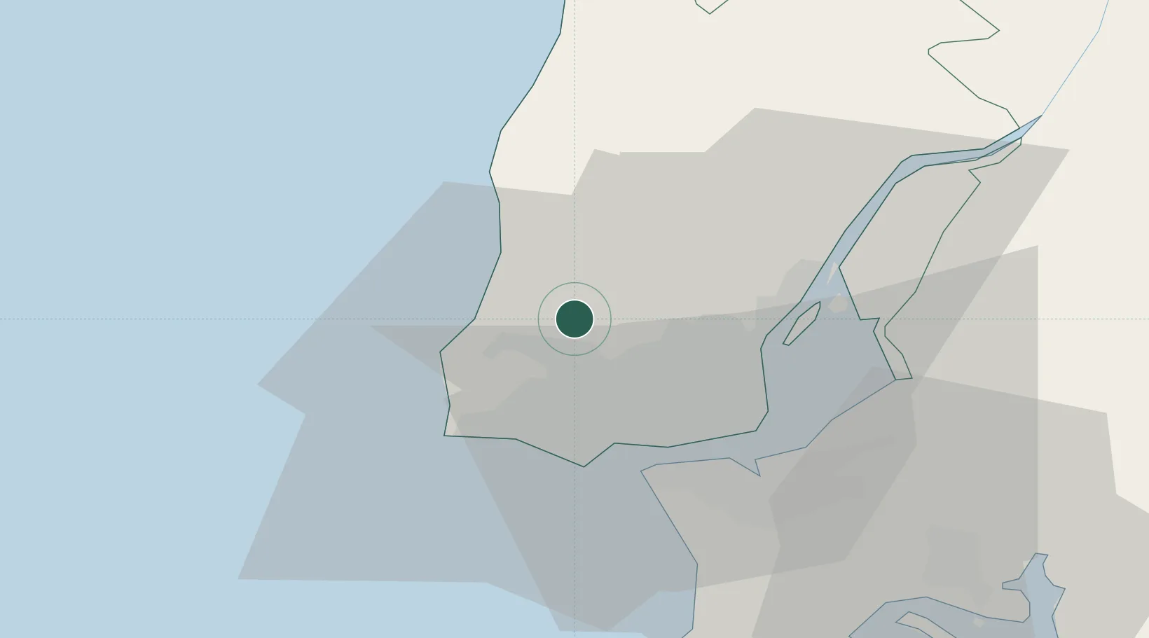
Lisbon
Population
4,792
Time zone
Europe/Lisbon
Elevation
158 m
Location
Nearby Logistics Neighbours
Cities
- 1Mortena1 km
- 2Cortegaca2 km
- 3Sabugo5 km
- 4Sao Joao das Lampas6 km
- 5Sintra7 km
Ports
- 1Lisboa22 km
- 2Setubal53 km
- 3Sines108 km
- 4Figueira Da Foz150 km
- 5Lagos205 km
Airports
- 1Sintra Air Base2 km
- 2Cascais Airport14 km
- 3Lisbon Humberto Delgado Airport19 km
- 4Alverca Air Base27 km
- 5Montijo Air Base30 km
Trade Zones
- 1VGP Park Santa Maria da Feira241 km
- 2Zona Livre Tecnológica Masotinhos265 km
- 3Puerto de Huelva273 km
- 4Zona Franca de Sevilla337 km
- 5Zona Franca de Cádiz376 km
DatabookThe Record of Consolidated Knowledge
Portugal beyond logistics?