UN/LOCODE hub · Portugal
PTSDM
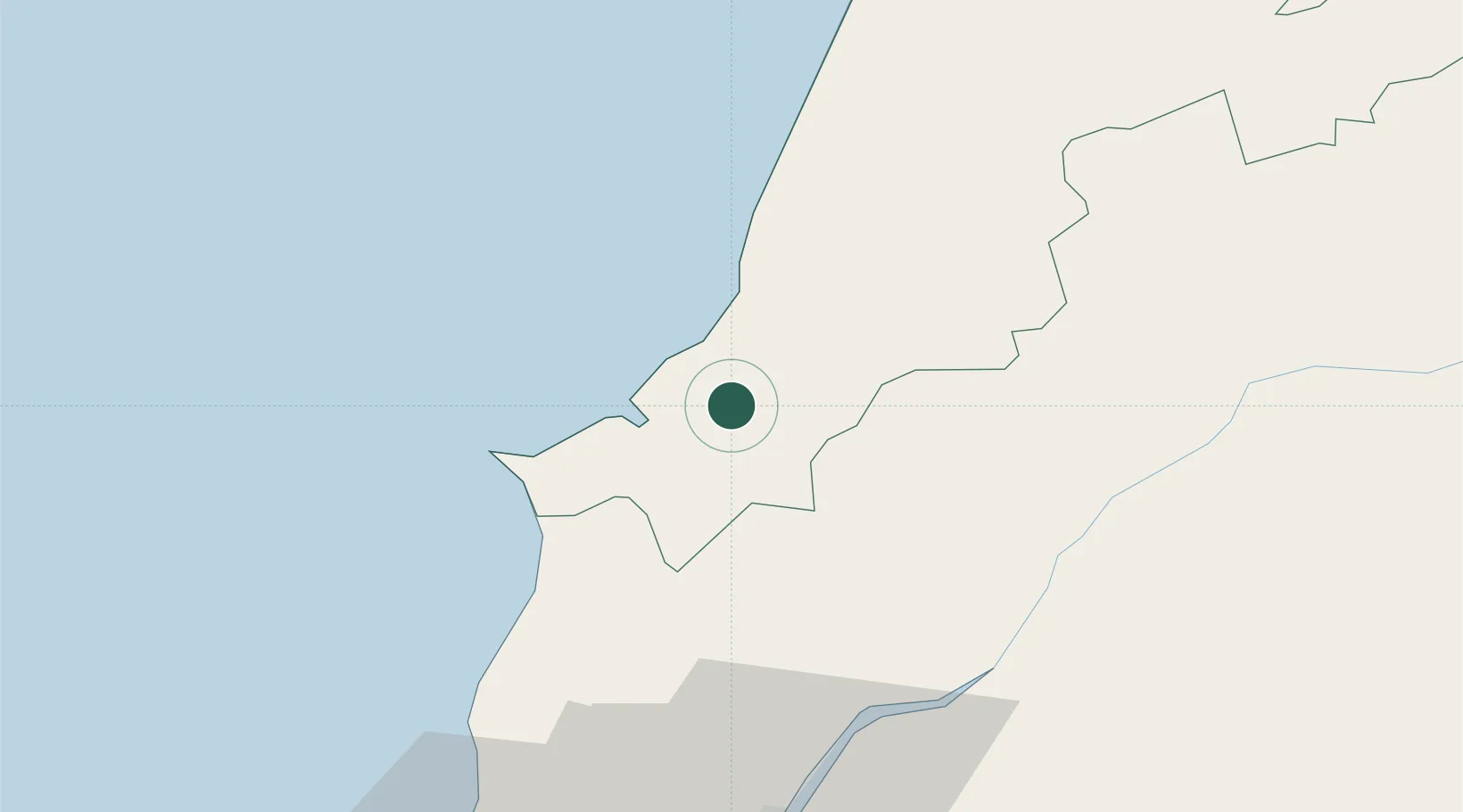
Salir de Matos
39.4333°, -9.1000°
2,583
Population
2
Transport functions
Transport Functions
Rail
Road
Hub Profile
Place type
Populated place
Region
Leiria
Population
2,583
Time zone
Europe/Lisbon
Elevation
47 m
Location
Nearby Logistics Neighbours
Cities
- 1Caldas da Rainha5 km
- 2Óbidos9 km
- 3São Martinho do Porto10 km
- 4Foz do Arelho10 km
- 5Nazaré19 km
Ports
- 1Lisboa82 km
- 2Figueira Da Foz83 km
- 3Setubal103 km
- 4Aveiro141 km
- 5Sines166 km
Airports
- 1Monte Real Air Base48 km
- 2Alverca Air Base62 km
- 3Tancos Airbase63 km
- 4Sintra Air Base70 km
- 5Lisbon Humberto Delgado Airport73 km
Trade Zones
- 1VGP Park Santa Maria da Feira173 km
- 2Zona Livre Tecnológica Masotinhos197 km
- 3Puerto de Huelva305 km
- 4Zona Franca de Vigo312 km
- 5Zona Franca de Sevilla357 km
DatabookThe Record of Consolidated Knowledge
Portugal beyond logistics?