Transport Functions
Rail
Road
Hub Profile
Place type
Provincial seat
Region
Leiria
Population
11,187
Time zone
Europe/Lisbon
Elevation
48 m
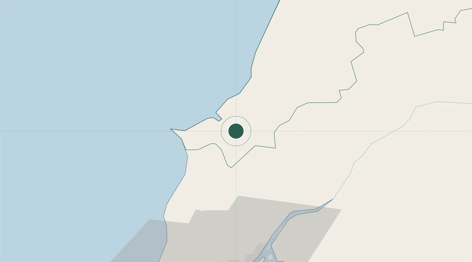
Location
Nearby Logistics Neighbours
Cities
- 1Caldas da Rainha4 km
- 2Salir de Matos9 km
- 3Foz do Arelho9 km
- 4Bombarral11 km
- 5São Martinho do Porto17 km
Ports
- 1Lisboa74 km
- 2Figueira Da Foz91 km
- 3Setubal97 km
- 4Aveiro149 km
- 5Sines159 km
Airports
- 1Alverca Air Base55 km
- 2Monte Real Air Base56 km
- 3Sintra Air Base62 km
- 4Lisbon Humberto Delgado Airport65 km
- 5Tancos Airbase69 km
Trade Zones
- 1VGP Park Santa Maria da Feira181 km
- 2Zona Livre Tecnológica Masotinhos205 km
- 3Puerto de Huelva302 km
- 4Zona Franca de Vigo320 km
- 5Zona Franca de Sevilla356 km
DatabookThe Record of Consolidated Knowledge
Portugal beyond logistics?