UN/LOCODE hub · Portugal
PTCDR
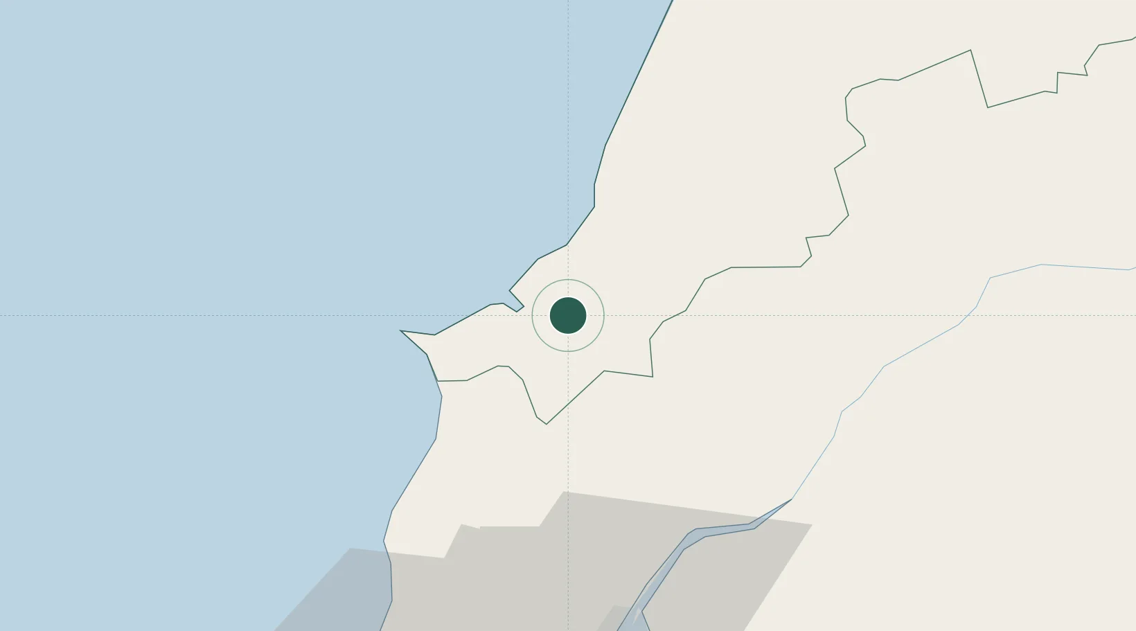
Caldas da Rainha
39.4000°, -9.1333°
27,378
Population
2
Transport functions
Transport Functions
Rail
Road
Hub Profile
Place type
Provincial seat
Region
Leiria
Population
27,378
Time zone
Europe/Lisbon
Elevation
60 m
Location
Nearby Logistics Neighbours
Cities
- 1Óbidos4 km
- 2Salir de Matos5 km
- 3Foz do Arelho8 km
- 4São Martinho do Porto13 km
- 5Bombarral15 km
Ports
- 1Lisboa78 km
- 2Figueira Da Foz87 km
- 3Setubal100 km
- 4Aveiro145 km
- 5Sines163 km
Airports
- 1Monte Real Air Base52 km
- 2Alverca Air Base58 km
- 3Sintra Air Base66 km
- 4Tancos Airbase67 km
- 5Lisbon Humberto Delgado Airport69 km
Trade Zones
- 1VGP Park Santa Maria da Feira177 km
- 2Zona Livre Tecnológica Masotinhos201 km
- 3Puerto de Huelva304 km
- 4Zona Franca de Vigo316 km
- 5Zona Franca de Sevilla357 km
DatabookThe Record of Consolidated Knowledge
Portugal beyond logistics?